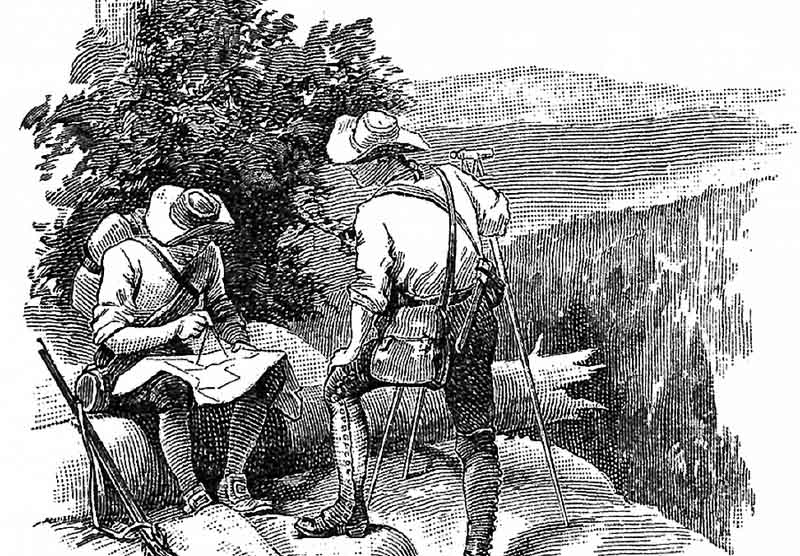
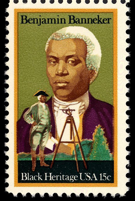
Benjamin Banneker is often referred
to as America’s 1st black scientist.
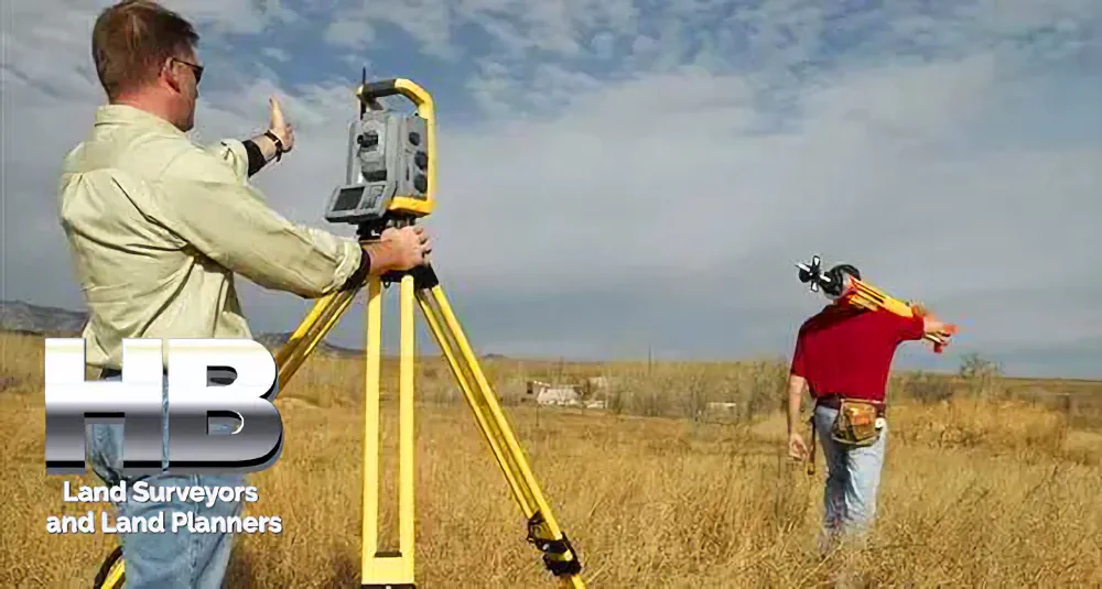
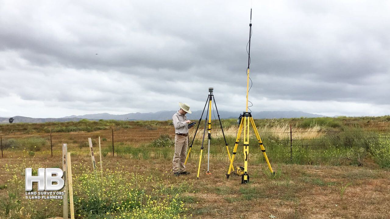
He was also a land surveyor.
Would you like to know more? ![]() →
→
Land Survey History in Maryland
Maryland land surveying has a long and intriguing history, dating back to 1632. In 1632 King Charles the 1st bestowed upon the Calvert’s the Maryland Charter.
To be more specific, Cecil Calvert was given possession of the land within these defined bounds, as well as the right to allot these holdings.
Free Land for Settlers
The Calvert’s promoted settlement between 1634 and 1680, by giving each settler an amount (typically 50 acres). After 1680, any person requesting land would have to appeal to Lord Baltimore’s Land Office or Lord Baltimore.
Throughout this procedure, the county surveyor would be given an order to map out the stated number of acres, resulting in a Certified Survey describing the plot of land granted.
This survey was conducted utilizing the method of metes and bounds, which provide the property’s exact dimensions as well as a scale representation.
The plot limits were marked by trees on the boundaries, water bodies, and rocks.
When compared to today’s surveying procedures, the Maryland surveys were rudimentary, as were many other land surveys of the time.
Modern scientific procedures, including the public land survey system, have since overtaken it.
The original imperial charter of Delaware, Maryland, and Pennsylvania overlapped due to poor or unclear maps and legal descriptions. Maryland’s initial charter provided land to the 40th parallel north of the Potomac River.
Mason Dixon Line
The Mason-Dixon Line, which runs through Maryland, Delaware along with Pennsylvania approximately divides the Northern and Southern half of the United States.
This line was established/surveyed between 1763 and 1767 to settle incendiary border disputes.
This line would later be used to demarcate the border between free and slave states, and it has stayed substantially constant through several clarifying surveys.
Although Maryland has been one of the original states, it was selected among the lasts for surveying on a significant scale by practitioners. The surveyors determined the exact location of the Pennsylvania-Maryland border at 39° 43′ 19.92216? N.
In 1849, and again in 1900, the Pennsylvania-Maryland border survey was repeated, re-establishing border lines again. Following the Revolutionary War, most colonies granted soldiers large swaths of land.
Maryland, on the other hand, lacked extensive land grants from the Crown and hence declined to issue any. For distributing specific plots of property to vets, the other former colonies had to be surveyed.
The Public Lands Survey System surveyed properties from the Appalachian Mountains to the Mississippi by 1802, but areas of Maryland went unsurveyed until later our history.