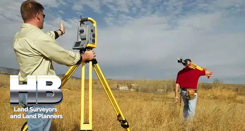
The Evolution of Land Survey Services in 2024
The field of land surveying is poised for significant changes in 2024, driven by technological advancements, regulatory shifts, and the increasing demand for accurate geospatial data. In this two-part series, we’ll explore the key trends and developments that are expected to shape land survey services in the coming year.
- Drone Technology Revolution: One of the most notable advancements in land surveying is the increased integration of drone technology. Drones equipped with LiDAR (Light Detection and Ranging) and high-resolution cameras have revolutionized data collection processes. Surveyors can now efficiently gather data from hard-to-reach areas, reducing safety risks and cutting costs. In 2024, we can expect to see more surveying firms adopting drones as a standard tool in their operations.
- AI and Machine Learning: Artificial intelligence (AI) and machine learning algorithms are becoming indispensable tools in data processing and analysis for land surveyors. These technologies can automatically identify features, extract relevant information from imagery, and improve the accuracy of measurements. In 2024, the integration of AI is expected to accelerate, streamlining survey workflows and enhancing data quality.
- BIM Integration: Building Information Modeling (BIM) continues to gain traction in the construction industry. Land surveyors are increasingly collaborating with architects, engineers, and construction professionals to integrate geospatial data into BIM models. This integration enhances project planning, reduces conflicts, and improves the overall efficiency of construction projects. In 2024, we can anticipate a growing demand for land surveyors skilled in BIM integration.
- Environmental and Regulatory Changes: As environmental concerns and regulations become more stringent, land surveyors will play a crucial role in assessing and mitigating environmental impacts. In 2024, we can expect an increased focus on sustainability and the use of surveying data to support responsible land development and resource management.
- 3D Mapping and Visualization: 3D mapping and visualization tools are becoming more accessible and affordable. Land surveyors are using these technologies to create detailed, interactive maps and models that offer clients a more immersive understanding of their properties. This trend is likely to continue in 2024, enhancing communication and decision-making in various industries.
- Remote Surveying: The COVID-19 pandemic accelerated the adoption of remote surveying techniques. With the continued advancement of technology, surveyors can conduct assessments and data collection remotely, reducing the need for on-site visits. This not only increases efficiency but also addresses safety concerns, making it a trend to watch in 2024.
- Global Positioning System (GPS) Enhancements: The development of more accurate and reliable GPS systems, such as the implementation of the Global Navigation Satellite System (GNSS), will further improve the precision of land survey measurements. Surveyors will have access to real-time data with centimeter-level accuracy, enabling them to provide more reliable results to their clients.

In Part 2 of this series, we will delve deeper into the challenges and opportunities that land surveyors may encounter in 2024, as well as the implications of these trends on the industry’s workforce and education requirements.