Service: Topographic Survey
Topographic Survey Description
Topographic Land Survey: This is the process of surveying and mapping the terrain of a property, this data is then tied into the boundary and property lines of said property. This survey type is used in most cases as a base map for land development projects.
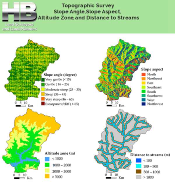
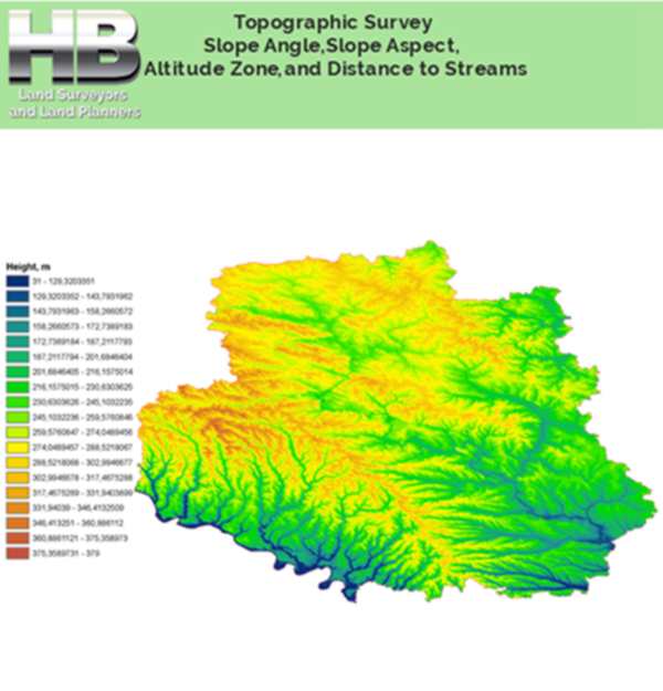
Our topographic service can provide land elevations, depressions, land angles, land aspects, contours, boundaries, easements, features, site areas, vegetation, buildings, pits, and utilities. Plus any ot her visible improvements on the land.
Related Details
And additional related details that don’t appear on a normal map. This information is crucial for land development projects, construction projects, and determining the most advantageous subdivision layouts.
Our topographic survey will provide the data you need to get your project off the ground.
Haller Blanchard and Associates is the Oldest and most Trusted Survey Company serving Frederick Maryland and all of West-Central MD. Please call us at 301-846-7788 for more detailed information and to schedule a Survey, because experience counts.
.
More On Topographic Surveys
Topographic Land Surveys are important for finding the various features and elevations of a property, before beginning any substantial construction/development project or environmental improvement project.
With the highest level of accuracy, Haller, Blanchard Land Surveyors has many years of experience doing this type of Survey.
Additionally, in the state of Maryland, our Land Surveyors provide a vast array of precise and reasonably priced Topo Survey services.
As well as, we can do superior Surveys that are, delivered on time, stay under budget, and meet or exceed local and state criteria.
We have the knowledge and experience to ensure that Surveys are done correctly, whether you require a straightforward Topographic, Boundary, Stake Out, ALTA Survey, or As-Built Survey.
In addition, our Land Surveyors continue to play a crucial role in the development of our State, from clarifying current Land boundary lines to partitioning and consolidating parcels of Land. read more →


When we needed our new coliseum staked out we called Haller and Blanchard. They were very professional and friendly I recommend H&B to anyone looking for a great survey service.
I called Haller and Blanchard to survey some land I’m building a new cheese shop on. It was a rush job that needed to be done asap. They came out and had the job done that day. Great Service!
Our experience with Haller and Blanchard has been nothing short of professional. They are highly accurate and knowledgeable we recommend them whole heartedly.