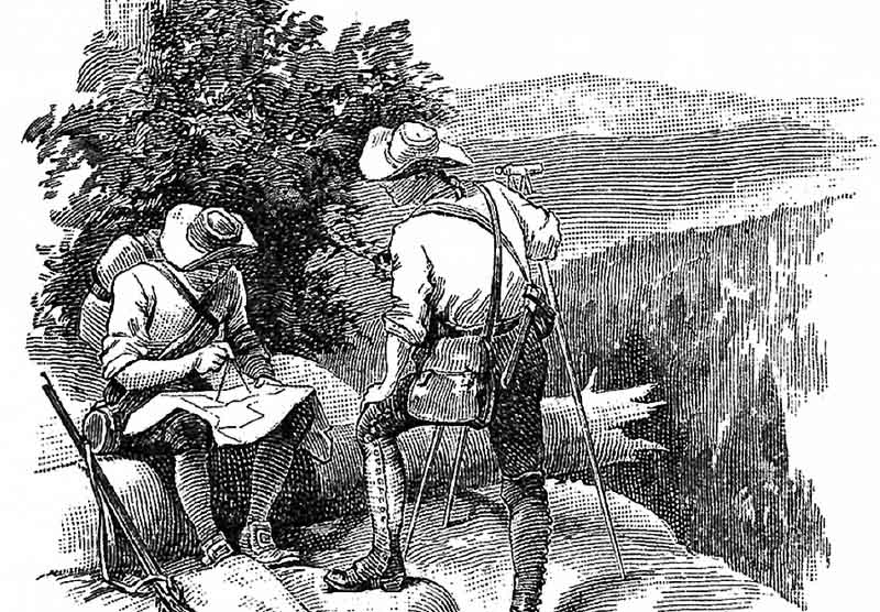
Service: Topographic Surveys
Topographic Survey Description
And because modern Surveying techniques today are far more accurate than older methods, and this, combined with continuing population expansion in the State of Maryland, makes their work even more important.
Land Features
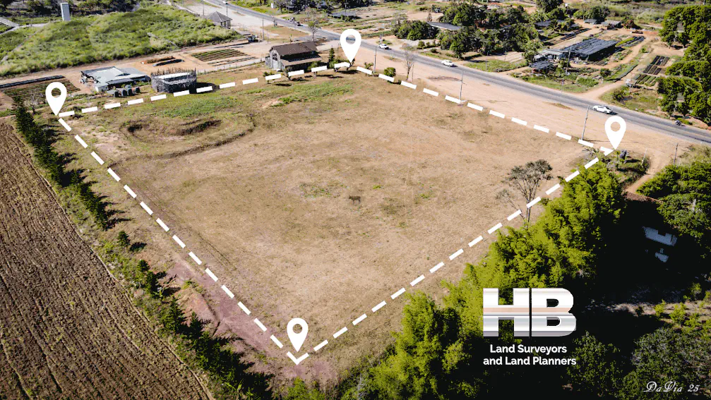
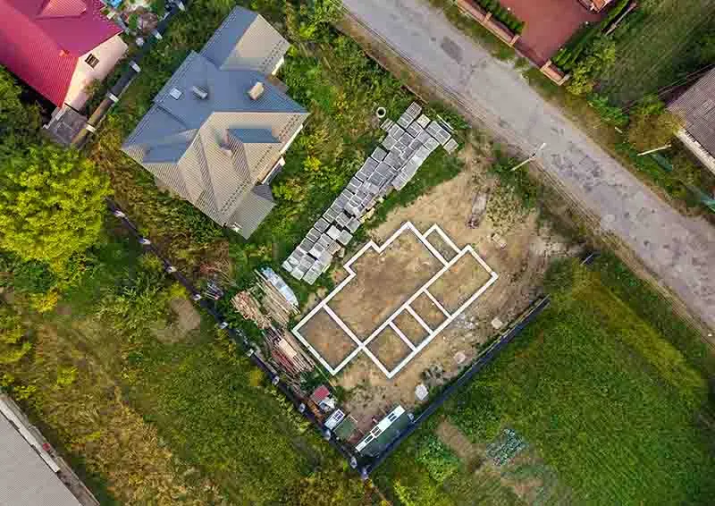
A Topographic Survey is more concerned with documenting the natural and man-made features on the Land itself. A typical Land Survey focuses more on identifying the boundaries of a parcel of Land.
These could include hills, ravines, streams, trees, fences, structures, and other changes from the Land’s original natural state. These types of improvements can be located, measured in size and height, as well as any progressive elevational changes or contours, using a Topographic Survey.
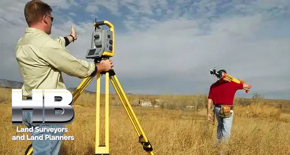
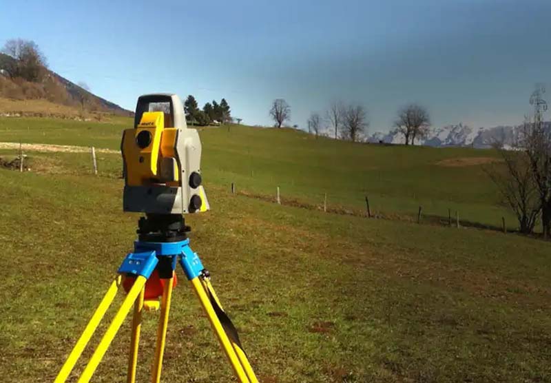
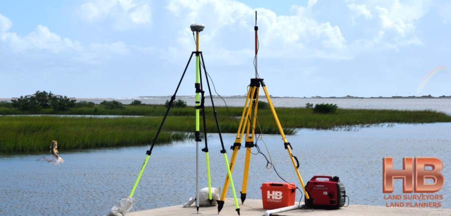
Also, a Topographic Land Survey places more of an emphasis on elevation than on horizontal measurements, unlike Boundary or Residential Land Surveys. The majority of these measurements are made using electronic EDM equipment or a GPS device of Surveying quality.
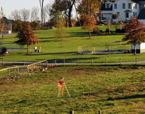
Instead of marking the results of the Topographic Survey with stakes or other landmarks, contour lines are drawn on a Survey Map of the terrain.
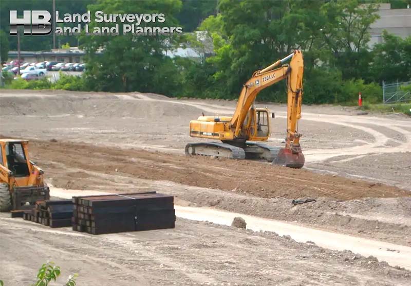
There are various reasons for conducting Topographic Land Surveys. A Topographic Land Survey, which specifies the beginning of the Land before modifications are made, is the first step in almost all construction projects.
Additionally, as existing characteristics may influence their design or judgments on where constructions can and cannot be placed on the site, engineers and architects use them as a tool when constructing buildings or other enhancements to be situated on the property.
Moreover, Topo Surveys are used when designing plans for drainage ditches, grading, or other features, utilizing the natural landscape as the basis for such changes.
Topographic Surveys may also be required by government entities for a variety of reasons, such as the legal requirements from building codes or as part of environmental restoration initiatives.
In Maryland, a variety of Land Surveys are available from our company. Haller Blanchard often goes above and beyond our client’s expectations.
Please contact us if you require a Surveying of any type, our 39 years have positioned us to be the standard bearer in West Central Maryland for Land Survey Services.
Haller Blanchard and Associates is the Oldest and most Trusted Survey Company serving Frederick Maryland and all of West-Central MD. Please call us at 301-846-7788 for more detailed information and to schedule a Survey, because experience counts.
When we needed our new coliseum staked out we called Haller and Blanchard. They were very professional and friendly I recommend H&B to anyone looking for a great survey service.
I called Haller and Blanchard to survey some land I’m building a new cheese shop on. It was a rush job that needed to be done asap. They came out and had the job done that day. Great Service!
Our experience with Haller and Blanchard has been nothing short of professional. They are highly accurate and knowledgeable we recommend them whole heartedly.


A very interesting read about Land Surveys in Maryland can be found here. Kilty’s Land-Holder’s Assistant, and Land-Office Guide→
Preface
The Land-Holder’s Assistant and Land Office Guide occupies a special place in the history of early Maryland literature, as the first institutional history of any agency of colonial or state government. In writing a work intended to describe the origins, procedures, and practices of the land office, John Kilty addressed a subject that had been of primary importance to the Lords Baltimore and remained, in the early nineteenth century, of vital concern for a people whose primary asset or source of wealth was the land that they owned.