What’s New in Land Surveying in 2024
The field of land surveying has evolved significantly over the years, and as we enter 2024, it continues to embrace innovative technologies and practices that enhance accuracy, efficiency, and sustainability.
Advanced Surveying Tools and Techniques
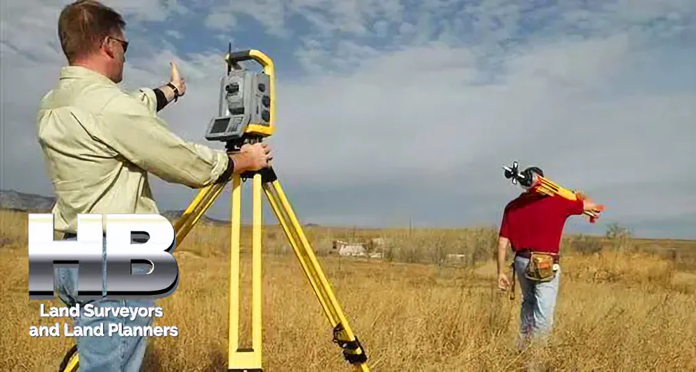
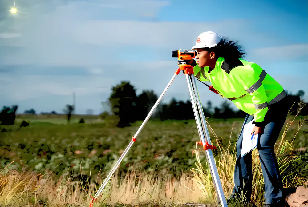
In 2024, land surveyors in Maryland are utilizing cutting-edge tools and techniques to streamline their work. High-precision Global Navigation Satellite Systems (GNSS) receivers have become standard equipment, providing accurate positioning data for surveys. Drones equipped with LiDAR (Light Detection and Ranging) technology are also being used for aerial surveys, making it easier to map large areas and gather detailed elevation data.

Digital Mapping and Geographic Information Systems (GIS)
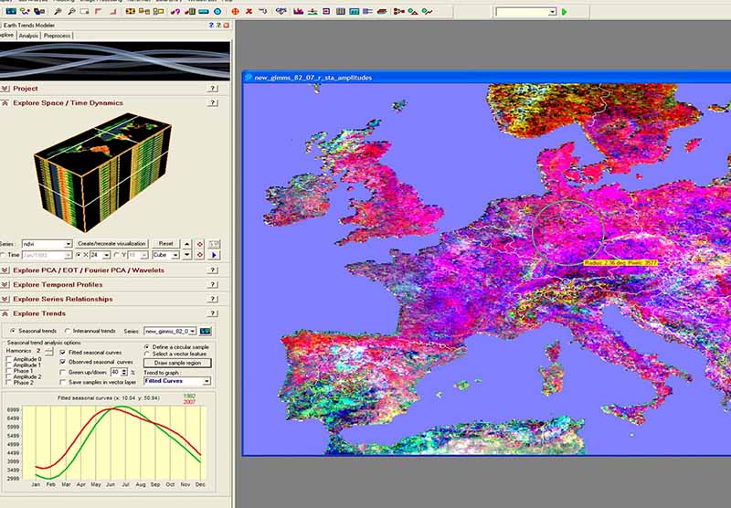
Digital mapping and Geographic Information Systems (GIS) have revolutionized land surveying. Surveyors now create highly detailed digital maps that can be easily shared and integrated with other data sources. GIS technology allows for better decision-making in land development, urban planning, and environmental management.
Environmental Considerations
In 2024, land surveyors in Maryland are placing a greater emphasis on environmental considerations. Surveyors are working closely with environmental experts to ensure that land development projects minimize their impact on natural ecosystems. This includes conducting ecological surveys and using GIS to identify environmentally sensitive areas.