Land Survey History in Maryland – Tracing the Foundations
Maryland, a state known for its rich history and diverse landscapes, has a land surveying heritage deeply embedded in its past. To truly appreciate the role of land surveying in Maryland’s development, one must delve into its historical roots, understanding how this profession shaped the state’s boundaries, land use, and infrastructure.
Exploring Maryland’s Land Survey History
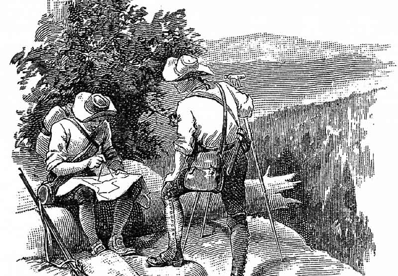
Maryland’s land surveying history dates back to the early colonial period when English settlers established the first European settlements in the region during the 17th century. The need for precise property demarcation and land division became apparent as the colony expanded.
In 1723, the colonial government of Maryland passed a law known as the “Act for the Better Ascertaining of the Bounds of Lands.” This marked an important milestone in Maryland’s land surveying history, as it established regulations and standards for land surveys. Surveyors were required to use specific tools, including compasses and chains, to accurately measure and delineate land boundaries.
One of the most famous land surveyors associated with Maryland’s history is Charles Mason, who, along with Jeremiah Dixon, conducted the famous Mason-Dixon Line survey between Maryland and Pennsylvania in the 1760s. This survey not only resolved boundary disputes but also had a profound impact on the development of the United States.

The Role of Land Surveying in Maryland’s Growth
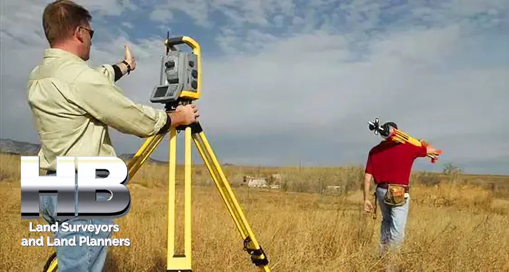
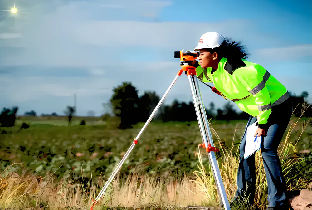
As Maryland continued to grow and evolve, land surveying played a pivotal role in the expansion of towns and cities, the establishment of property lines, and the development of infrastructure such as roads and railroads. Surveyors were instrumental in transforming Maryland’s natural landscape into a network of parcels, plots, and developments.