Introduction:
Wall Check Surveys are a crucial component of property assessment, providing essential information about boundaries and property corners. In this article, we will explore what Wall Check Surveys are, how they are performed, when they are needed, the circumstances that require them, the latest innovations in the field, and their historical significance.
What is a Wall Check Survey?
Wall Check Surveys involve the recovery and verification of property boundaries and corners. These surveys aim to accurately determine the outline of a property, ensuring that any construction, inspections, or repairs are conducted within the appropriate boundaries. By recovering property corners and outlining the, Surveys establish the framework for precise measurements and analysis.
How are they performed?
This type of Survey requires a meticulous and systematic approach. Qualified surveyors employ various techniques and tools to conduct these surveys effectively. The process typically involves the following steps:
a. Research and preparation: Surveyors gather relevant documents, deeds, and historical records to understand the property’s legal description, previous surveys, and any existing markers.
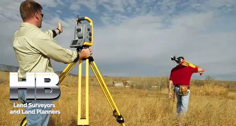
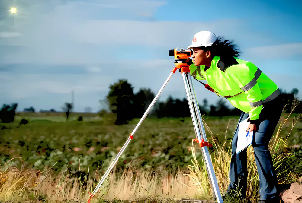
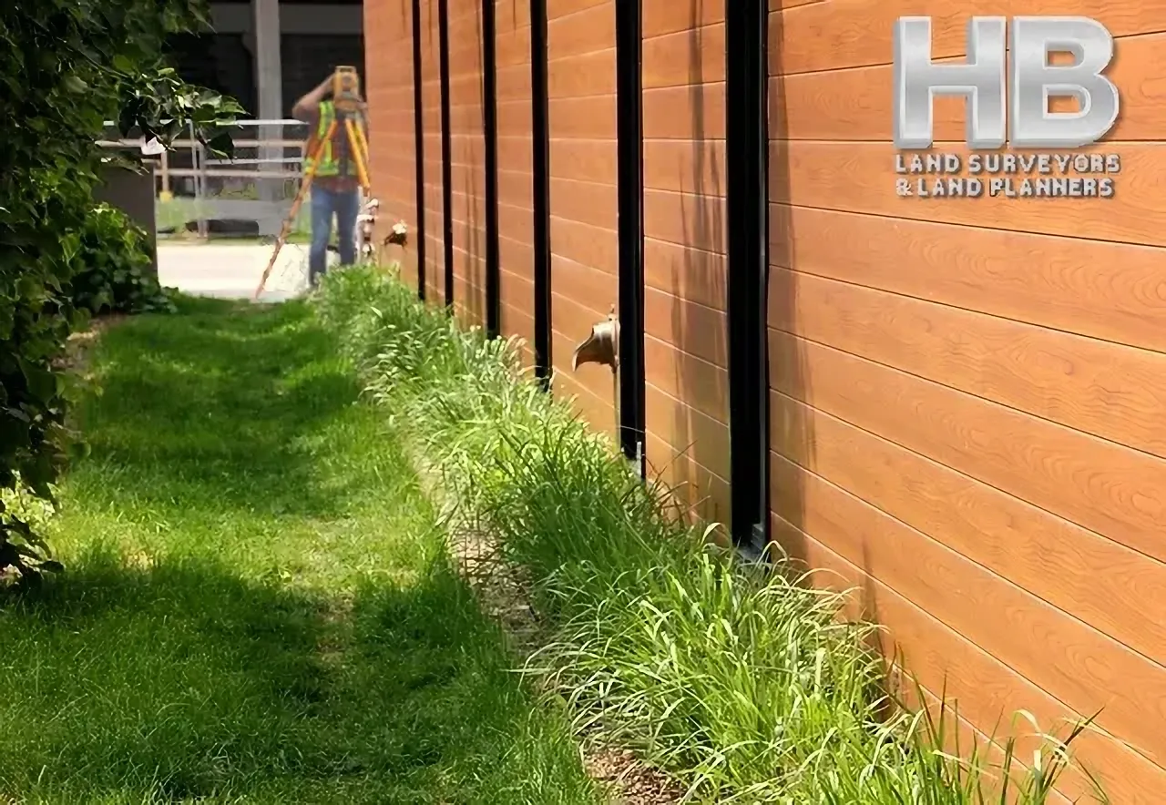
b. Fieldwork: Surveyors visit the property and use specialized equipment such as metal detectors, ground-penetrating radar, or total stations to locate existing markers or monuments left by previous surveyors. They measure the distances and angles between known landmarks, such as buildings or roads, to determine property boundaries when corner markers are not found.
c. Data analysis: Surveyors compile and analyze the collected data to establish the property’s outline. Using precise measurements and advanced software, they create detailed maps, diagrams, or boundary descriptions that accurately represent the property’s boundaries.
d. Reporting: Once the survey is complete, a detailed report is generated, documenting the findings, measurements, and any relevant notes. This report serves as a valuable resource for property owners, real estate professionals, and legal entities.
When is this Survey needed?
Several circumstances may necessitate a Wall Check Survey:
a. Property transactions: When buying or selling a property, understanding the property boundaries is crucial. These Surveys provide certainty about the property’s limits, assisting in negotiations and preventing boundary disputes.
b. Boundary disputes: In cases where conflicts arise between neighboring property owners over boundary lines, a Wall Check Survey can objectively determine the true boundaries based on established legal principles and physical evidence.
c. Construction and renovations: Before undertaking any construction or renovation projects, it is essential to ensure that the work falls within the legal boundaries of the property. And this type of Survey helps property owners and contractors avoid encroachments and potential legal complications.
d. Zoning and land use regulations: Compliance with local zoning and land use regulations often requires accurate knowledge of property boundaries. Wall Check Surveys provide the necessary information to adhere to these regulations and avoid violations.
Latest innovations:
The field of Wall Check Surveys has witnessed advancements driven by technological innovations.
Some notable developments include:
a. Remote sensing technology: Aerial imagery, satellite imagery, and LiDAR (Light Detection and Ranging) technology allow surveyors to gather data more efficiently and accurately over large areas. This technology aids in identifying and verifying property boundaries.
b. Geographic Information System (GIS): GIS platforms integrate survey data with geospatial information, enabling surveyors to analyze and visualize property boundaries in a comprehensive digital environment.
c. Real-time kinematic (RTK) GPS: RTK GPS systems provide highly accurate positioning data in real time, allowing surveyors to precisely locate property corners and establish boundaries.
5. The history of Wall Check Surveys:
Wall Check Surveys have a rich historical background, rooted in the expansion of the United States during the 19th century. As the country ventured westward, land surveying was pivotal in acquiring and developing new territories.
To manage the surveying, sale, and management of public lands, the federal government established the General Land Office (GLO) in 1812.
The GLO and its dedicated surveyors were tasked with the responsibility of accurately mapping and demarcating boundaries, ensuring fair distribution and utilization of the newly acquired lands.
These early surveyors utilized rudimentary tools and techniques to establish property lines and landmarks, often relying on physical measurements, compasses, chains, and simple trigonometry.
Over time, as technology advanced, so did the methods employed in Wall Check Surveys. The introduction of more sophisticated instruments, such as the theodolite, improved the precision and efficiency of surveys.
This allowed surveyors to more accurately determine property corners and outline boundaries.
The advent of aerial imagery and satellite technology in the 20th century further revolutionized the field. Aerial surveys enable surveyors to gather extensive data over large areas, providing a broader perspective of the land and its boundaries.
This advancement significantly expedited the surveying process and enhanced the accuracy of Wall Check Surveys.
In recent years, the integration of advanced technologies like LiDAR (Light Detection and Ranging) and remote sensing has further propelled Wall Check Surveys into the digital age.
LiDAR technology, which utilizes laser beams to measure distances, enables surveyors to create highly detailed three-dimensional models of the terrain, aiding in the precise identification and verification of property boundaries.
The introduction of Geographic Information System (GIS) technology has also been instrumental in modern Surveys.
GIS platforms integrate survey data with geospatial information, allowing surveyors to analyze, visualize, and manage property boundaries and associated attributes in a comprehensive digital environment.
This integration enhances the accuracy, accessibility, and usability of survey information, benefiting property owners, professionals, and decision-makers.
And Lastly, the history of Wall Check Surveys traces its roots to the expansion of the United States in the 19th century.
From the establishment of the General Land Office to the advancements in surveying instruments and the incorporation of aerial imagery, satellite technology, LiDAR, and GIS, the field has experienced remarkable progress.
These innovations have made Wall Check Surveys more efficient, accurate, and accessible, ensuring that property boundaries are precisely determined and respected in various contexts.