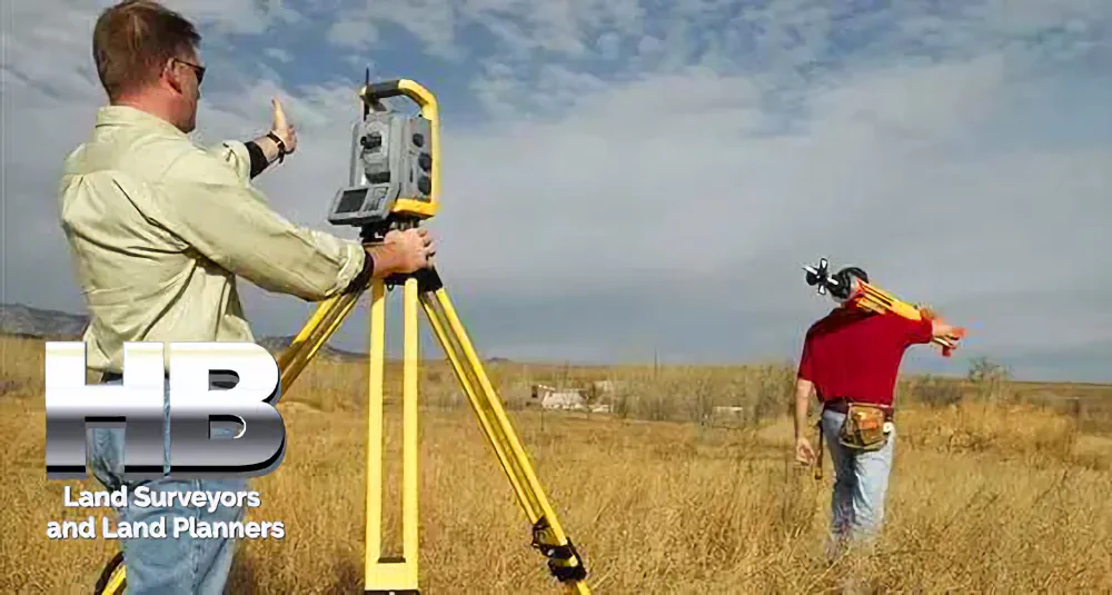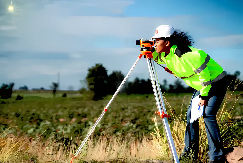
Site Surveying: What and Why?
Site surveying is a skillful practice of measuring both the horizontal and vertical distances to approximate the locations of many points on the Earth’s surface.
Along with considering angles and the specifics of these points when crafting a plan or a map at any scale.
Determining a point’s three-dimensional or two-dimensional position on the planet, together with the angles and distances that separate it from other points, is the basis of site surveying. And could start off with a straightforward walkover survey before carrying on to more comprehensive surveys that focus on particular aspects.
The Significance of Sight Surveying
Designing a plan and the part of the region to be surveyed is the first and most essential requirement in the surveying process. According to the aims of the project, the site surveying created maps and sections which could be used to identify the best alignment, the number of earthworks, and any other important data.
Furthermore, site surveying is essential for the planning and design of any civilian engineering projects, including roads, bridges, tunnels, irrigation and drainage systems, airbases, ports, rivers and streams, large buildings, water treatment plants, sewage treatment plants, and much more. After the completion of a project, the points and lines created by the survey will be constructed to varying dimensions.
In addition, surveying is essential for setting boundaries as well as for charting and mapping hydrographic and oceanographic information. Furthermore, surveying is also used to make a topographic map of a land surface on Earth.
How Haller Blanchard Constructors Assist You by Site Surveying?
Here are our various surveying-related services:
Haller-Blanchard site Surveying helps in the making of topographic maps. Which exhibit hillsides, woods, cities, villages, lakes, and many other things.
Moreover, surveying also plays a significant role in the planning and evaluation of infrastructure projects such as highways, railways, mines, constructions, transmission lines, irrigation systems, and water supplies.
Additionally, surveying is utilized to construct maps that show the borders of fields and other possessions. In addition, infrastructural maps that reveal the whereabouts of engineering initiatives such as motorways, homes, bridges, rivers, and waterways are created by surveying.
Some of our other services include:
- Contamination Investigations
- Ecology Research
- Archaeology
- Transport and Traffic Studies
- Local Climate
- Flooding Danger
- Air Quality
- Acoustics
- Previous Utilization
- Soil Evaluation
Site surveying is an invaluable part of land development and construction. From gathering topographic data to establishing property boundaries, site surveying provides an objective way to guide decisions by providing precise information collected by trained professionals. Haller Blanchard will get the job finished right!
Please call us today at 301-846-7788 or submit contact information with the best time and date for us to contact you.