What Are Land Surveys?
A land survey is often done when a property is bought or sold, a mortgage is obtained, or a boundary dispute arises. Land surveys can also be conducted for construction projects, to create maps, or to establish legal descriptions for a property.

click on the image to learn some interesting history about land surveys and the instruments they used in the 18th and 19th centuries.
Types of Land Surveys
There are many types of land surveys, including boundary surveys, topographic surveys, and mortgage location certificates. A boundary survey is the most common type of land survey used to determine the precise location of a property’s boundaries.
A topographic survey is a detailed survey that shows a piece of land’s natural and manufactured features, including elevations, contours, and structures. A mortgage location certificate is a simplified survey typically required by mortgage lenders to confirm the location of a property.
How a Land Survey Works
To conduct a land survey, a surveyor will first review any existing documents or maps related to the property, such as deeds, plats, or previous surveys.
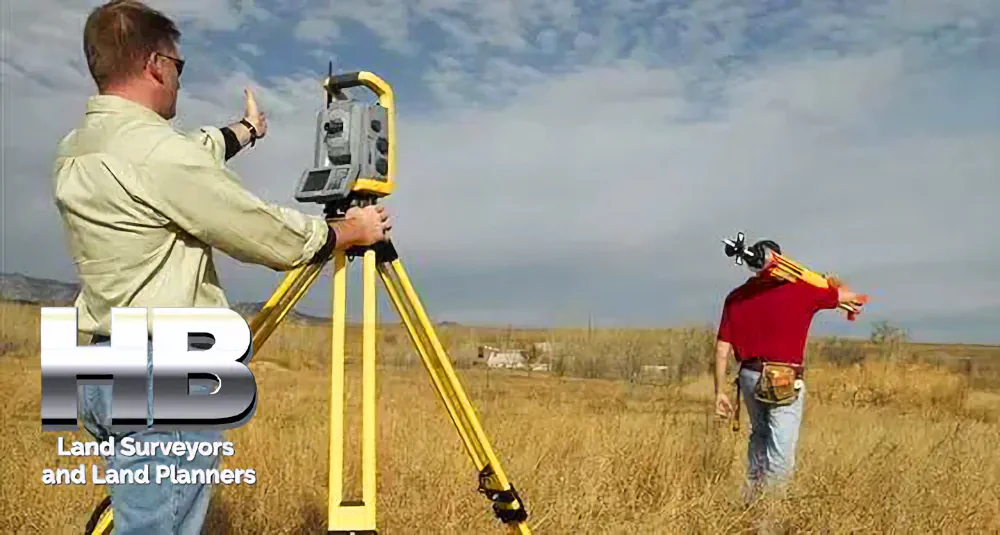
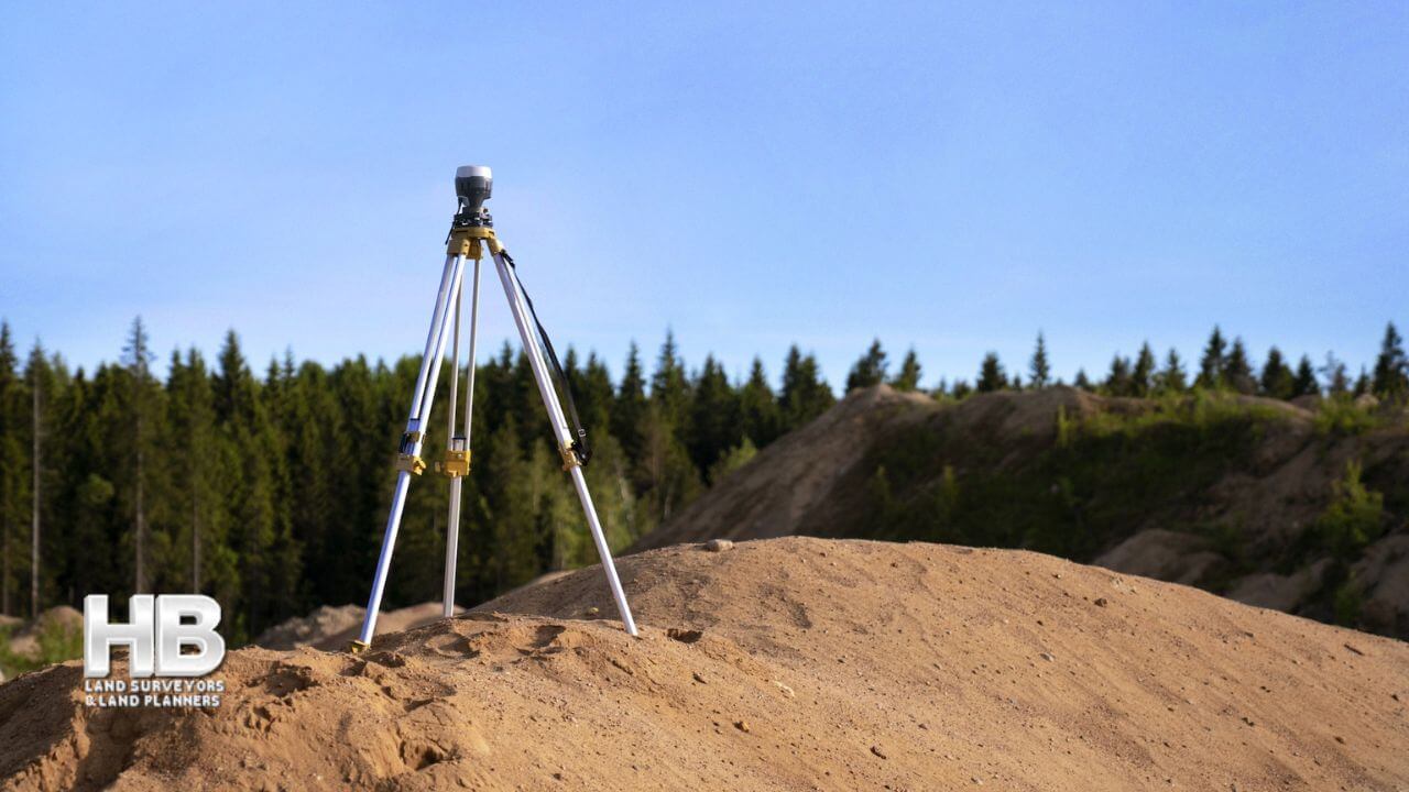
Surveying equipment, such as total stations, GPS receivers, and levels, may be used to help gather accurate data.
Once the data has been collected, the surveyor will create a map or drawing of the property, showing the location of the boundaries, buildings, and other features.
This map or drawing is called a survey plat. The survey plat will also include a legal description of the property, which is a standardized way of describing the property’s boundaries and location.
It’s Important to Use a Reputable and Licensed Surveyor
The accuracy of a land survey is important because it determines the ownership and use of a piece of land. Land surveys are conducted by professional surveyors who are licensed by the state in which they practice.
It is essential to use a licensed surveyor to ensure that the survey is conducted correctly and that the results are accurate.

In conclusion, land surveys are an important tool for determining the boundaries and features of a piece of land. They
are used in a variety of situations, including property sales, construction projects, and boundary disputes.
Land surveys are conducted by professional surveyors who use specialized equipment and techniques to gather accurate data. The results of a land survey are used to create a survey plat, which includes a legal description of the property and a map or drawing of the boundaries and features.
Please call us today at 301-846-7788 or submit contact information with the best time and date for us to contact you.