
LAND SURVEY TERMS “V”
GLOSSARY OF U.S. BUREAU OF LAND MANAGEMENT SURVEYING AND MAPPING TERMS
Land Survey Terms “V”, A convenient source for our clients and website visitors
V (Land Status Records) – Village.
VA – Virginia.
VABM – Vertical Angle Bench Mark.
VAR INT (Land Status Records) – Variable Interest.
VAR. – Variation.
VIZ – A contraction for videlicet, to-wit, namely, that is to say.
vs. – Versus. Also, occasionally, abbreviated v.
VT – Vermont.
VACUUM BACK – The back of a film magazine which is so constructed that a suction may be applied to keep the
film flat and in the focal plane during the exposure.
VALLEY – Any hollow or low-lying land bounded by hill or mountain ranges.
VECTOR – 1) A quantity which has magnitude and direction. 2) One of a series of simultaneous equations.
VERNIER – A scale reading device using alinement of graduated marks named for Peter Werner, a mathematician,
who used the name Pierre Vernier in his writings. See NONIUS*.
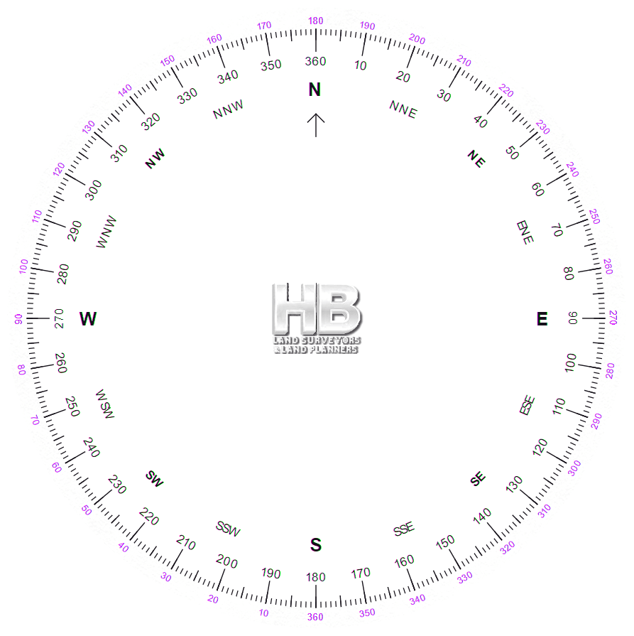
VERTICAL ANGLE – The angle between a horizontal plane and the surface of a cone passing thru the point of
reference with the apex at the point of observation.
![]() Please feel free to contact us about Land Survey Terms or any other questions. We are here now and ready to answer.
Please feel free to contact us about Land Survey Terms or any other questions. We are here now and ready to answer.
Phone
VERTICAL ANGLE, ASCENDING – A vertical angle, measured at the perspective center, between the true horizon and a ray to a point above the horizon.
VERTICAL ANGLE, DESCENDING – A vertical angle, measured at the perspective center, between the true horizon and a ray to a point below the horizon.
VERTICAL ANGLE BENCH MARK – A monumented point whose elevation is determined by trigonometric leveling.
 VERTICAL ANGLE LEVELING – See TRIGONOMETRIC LEVELING.
VERTICAL COLLIMATOR – A nadir mounted telescope with leveling bubbles used as an optical plummet.
VERTICAL CONTROL – Survey data furnishing elevations to be used for a framework of subsidiary surveys.
VERTICAL CURVE – 1) A parabolic curve used as transition between different grades or slopes. 2) Synonym for BZ curve.
![]() Please feel free to contact us about Land Survey Terms or any other questions. We are here now and ready to answer.
Please feel free to contact us about Land Survey Terms or any other questions. We are here now and ready to answer.
Phone
VERTICAL GEODETIC DATUM – The assumed or fixed elevation of a specific point or level surface, usually mean sea level.
VERTICAL PHOTOGRAPH – An aerial photograph taken with the camera axis vertical or as nearly vertical as practicable.
VIDICON – An imaging tube having a photo-sensitive surface and is a device used to convert image data from photographic format to electronic video signal format. An electron beam is scanned like a TV raster across the photo-sensitive surface and it generates a signal whose amplitude corresponds to the light intensity focused on the surface at each point. This electron beam signal is then amplified to a usable video signal.
VIEWFINDER – A device similar to a camera but with the ground glass in the focal plane of the lens. The viewfinder is mounted vertically in the floor of an airplane for the purpose of viewing the landscape and determining when photographs should be taken.
VIGNETTING – A gradual reduction in density of parts of the photographic image due to the stopping of some of the
rays entering the lens. Thus, a lens mounting may interfere with the extreme oblique rays. An anti-vignetting filter is
one that gradually decreases in density from the center toward the edges; it is used with many wide-angle lenses to produce a photograph of uniform density by cutting down the overexposure of the center of the photograph.
VINCULUM – A short horizontal line placed over the seconds digits of a numerically expressed angle or direction to indicate that the seconds are used in connection with a value of minutes 1 less than is recorded. A double vinculum indicates association with a value of minutes 2 less than is recorded.
VOLCANO – 1) A vent in the earth’s crust from which molten lava, pyroclastic materials, volcanic gases, etc., issue. 2) A mountain which has been built up by the materials ejected from the interior of the earth through a vent.
![]() Please feel free to contact us about Land Survey Terms or any other questions. We are here now and ready to answer.
Please feel free to contact us about Land Survey Terms or any other questions. We are here now and ready to answer.
Phone Email us
Here is a good source for becoming a Surveyor or learning about the industry to make certain it’s the right path for your future