LAND SURVEY TERMS “O”
GLOSSARY OF U.S. BUREAU OF LAND MANAGEMENT SURVEYING AND MAPPING TERMS
Land Survey Terms “O”, A convenient source for our clients and website visitors
O – Ohio.
O (Land Status Records) – Order.
OAS – Office of Aircraft Services.
OCS – Outer Continental Shelf.
OCS/MINERAL MANAGEMENT MAP – A series of maps for use in leasing outer continental shelf lands.
O&C (Land Status Records) – Oregon and California (revested lands).
OE (Land Status Records) – Open to Entry.
OG (Land Status Records) – Oil and gas.
OK – Oklahoma.
OKLA. – Oklahoma.
OBJECTIVE LENS – The lens, in a telescope or microscope, which is nearest the object.
OBLATE SPHEROID – The mathematical shape assumed by a homogenous rotating mass, used as an approximation of the earth’s shape.
OBLIQUE MERCATOR PROJECTION – A map plotting system in which points on an ellipsoid are
mathematically projected onto a cylinder oriented tangent to an oblique line at the map center; used in one of the Alaska State Plane Coordinate systems.
OBLIQUE PHOTOGRAPH – An aerial photograph taken with the camera axis intentionally tilted from the vertical.
OBSERVATION SCENE – Collection of the image data of one nominal framing area of the earth’s surface; this includes all data from each spectral band of each sensor.
OCCUPY – To set up a survey instrument over a point.
![]() Please feel free to contact us about Land Survey Terms or any other questions. We are here now and ready to answer.
Please feel free to contact us about Land Survey Terms or any other questions. We are here now and ready to answer.
Phone
OCEAN – The sheet of salt water which surrounds the great land masses of the earth; it is divided by them into
several extensive portions, each known as an ocean, and altogether covers 71 percent of the earth’s surface. The
oceans may be divided into three district regions, the Littoral, the Pelagic, and the Abyssal. Alternatively, they
may be divided according to depth into four regions: 1) the Continental Shelf, which adjoins the land, 2) the
Continental Slope, immediately outside the continental shelf, 3) the deep-sea plain, a wide and almost level area
forming most of the ocean floor, and varying in depth from about 2,000 to 3,000 fathoms, and 4) the Deeps.
OFFICIAL OCS PROTRACTION DIAGRAM – A series of maps which define lease blocks on the outer continental shelf.
OFFSET PRINTING – A process of lithographic printing from a flat or cylindrical pressplate in which the inked image on the pressplate is first transferred to a rubber-surfaced cylinder and then printed, or offset, onto a sheet of paper or other material.
OFFSHORE (USGS) – The zone extended seaward for an indefinite distance from the limit of mean low water (Atlantic and Gulf coasts) and from mean lower low water (Pacific coast).
OPEN TRAVERSE – A traverse which does not close upon itself or another known point.
OPEN WINDOW NEGATIVE – A negative having open areas, used as a mask where screens, rulings and tints are to be printed in the open areas.
OPTICAL AXIS – The straight line which passes through the center of curvature of a lens element. In a compound
lens, if the centers of the curvature of all the components lie in one straight line, this line is the optical axis of the lens.
 OPTICAL COLOR COMBINER – Instrument which produces false or “true” color images by linearly combining a few black-and-white films of the same scene. The films are usually obtained from multi-band or time-sequential photography. The films are put in projectors which are all focused on the same screen and which have various color filters placed in front of their lens. The brightness of the projector’s lamp in each projector can be changed independently thereby changing chromaticity balance.
OPTICAL DENSITY – Photographic transmission density.
OPTICAL FLAT – A surface, usually of glass, specially ground and polished plane within a fractional part of a
wavelength of light, used to test the flatness of other surfaces. See PLANE PARALLEL PLATE.
OPTICAL PLUMB (ALSO OPTICAL PLUMMET) – A device for optically determining a vertical line of sight,
serving the same function as a plumb bob.
OPTICAL SQUARE – See PENTA PRISM.
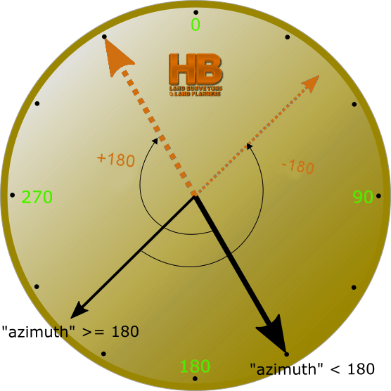
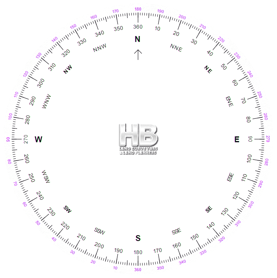
ORIENTATION – 1) The act of establishing the correct relationship in direction with reference to the points of the compass. 2) The state of being in correct relationship in direction with reference to the points of the compass. 3) A map is in orientation when the map symbols are parallel with their corresponding ground features. 4) A planetable is in orientation when lines connecting positions on the planetable sheet are parallel with the lines connecting the corresponding ground objects. 5) A surveyor’s instrument is in orientation if the horizontal circle
reads 0° when the line of collimation is parallel to the direction it had at an earlier (initial) position of the
instrument, or to a standard line of reference. If the line of reference is a meridian, the circle will show azimuths
referred to that meridian. 6) A photograph is in orientation when it correctly presents the perspective view of the
ground directly in front of the observer; or when the images on the photograph appear in the same direction from
the point of observation as do the corresponding map symbols. See ABSOLUTE ORIENTATION, RELATIVE
ORIENTATION and INTERIOR ORIENTATION.
ORIGIN – The point in a system of coordinates which serves as an initial point in computing and where X = 0 and Y = 0.
ORTHOGRAPHIC PROJECTION – A map plotting system whereby parallel lines project from points on the
sphere to a plane tangent to the sphere at the map center; not practicable for plotting survey data.
ORTHOMETRIC CORRECTION – A systematic correction which must be applied to a measured difference of
elevation because level surfaces at different elevations are not exactly parallel.
![]() Please feel free to contact us about Land Survey Terms or any other questions. We are here now and ready to answer.
Please feel free to contact us about Land Survey Terms or any other questions. We are here now and ready to answer.
Phone
ORTHOMETRIC ELEVATION – An elevation value to which the orthometric correction has been applied.
ORTHOPHOTOGRAPH – A photograph derived from perspective photographs and equivalent to a photograph
made by orthographic projection. In a perfect orthophotograph, there are no displacements of images because of tilt or relief.
ORTHOPHOTOMAP – A photomap prepared from a orthophotograph or a precisely controlled assembly of
orthophotographs. It is generally published in standard map format. See PHOTOMAP.
ORTHOPHOTOMOSAIC – As assembly of orthophotographs, usually precisely controlled, to form a uniform-
scale photographic representation of a portion of the earth’s surface.
ORTHOPHOTOSCOPE – An instrument for converting conventional perspective photographs into
orthophotographs by differential rectification. It features a double-projection anaglyphic instrument and a
movable exposing slit that is used to scan the ground surface of the projected stereomodel in a systematic
pattern. It records the orthographically corrected imagery of the blue-filtered diapositive on film insensitive to red light.
OUTER CONTINENTAL SHELF – Under Public Law 212 (the Outer Continental Shelf Lands Act) it is that
portion of the continental shelf which lies seaward of state boundaries as defined in Public Law 31 (the
Submerged Lands Act).
OVERLAP – The amount by which one photograph duplicates the area covered by another photograph, usually
expressed as a percentage.
OVERLAY – 1) A drawing on a transparent medium to be superimposed on another drawing. 2) A transparent
medium on which flight lines and/or area to be photographed are plotted to be superimposed on a map, thus avoiding defacing the map.
OVERSHEET – A transparency or a print of a map compilation used for recording supplemental information.
OXBOW – A crescent-shaped lake formed in an abandoned river bend which has become separated from the main
stream by a change in the course of the river.
![]() Please feel free to contact us about Land Survey Terms or any other questions. We are here now and ready to answer.
Please feel free to contact us about Land Survey Terms or any other questions. We are here now and ready to answer.
Phone Email us
Here is a good source for becoming a Surveyor or learning about the industry to make certain it’s the right path for your future