LAND SURVEY TERMS “N”
GLOSSARY OF U.S. BUREAU OF LAND MANAGEMENT SURVEYING AND MAPPING TERMS
Land Survey Terms “N”, A convenient source for our clients and website visitors
N (Land Status Records) – North.
NA (Land Status Records) – Native Allotment.
NAV MER (Land Status Records) – Navajo Merdian.
NB – Nebraska.
NC – North Carolina.
nc (Land Status Records) – Noncompetitive.
ND – North Dakota.
N. DAK. – North Dakota.
NE (Land Status Records) – Northeast.
NEB. – Nebraska.
N.E.P.A. – National Environmental Policy Act of 1969.
The Act of Congress of January 1, 1970, Public Law 91-190, 83 Stat. 852, 42 U.S.C. 4321, et se1.
NEV. – Nevada.
NF (Land Status Records) – National Forest.
NGS – National Geodetic Survey.
NG SEL (Land Status Records) – Native Group Selection.
NH – New Hampshire.
NIT (Land Status Records) – Nitrate.
NJ – New Jersey.
NM – New Mexico
NMAS – United States National Map Accuracy Standards.
NADIR – 1) That point on the celestial sphere intersected by the plumbline extended downward; that point, directly
opposite the zenith. 2) The point on the ground or at sea level datum vertically beneath the perspective center of
the aerial camera lens, or the photographic image of that point.
NADIRSCOPE – A device for locating the nadir point of each exposure of a stereomodel when absolutely oriented
in a direct-projection plotter. The plotted nadir point on the base sheet can be used to facilitate the orientation of
succeeding stereomodels or to assist in the rectification of photographs for mosaicking.
NANOMETER – Unit of measure equal to one millimicron or one millionth of a millimeter.
NARROW ANGLE LENS – A lens having an angle of coverage up to 60°.
NATIONAL ATLAS OF THE UNITED STATES – A collection of maps and charts, with descriptive and
bibliographic text, arranged to present an accurate graphic concept of the salient physical, historical, political,
economic, social, and cultural features of the country.
NATIONAL MAP ACCURACY STANDARDS – See UNITED STATES NATIONAL MAP ACCURACY STANDARDS.
NATIONAL TOPOGRAPHIC MAP SERIES – See MAP SERIES.
NATURAL SCALE – 1) True scale as it exists in nature, without magnification or reduction. Some map projection
tables are published at natural scale to permit easy conversion to a variety of map scales. 2) Map scale expressed
as a fraction or ratio, independent of linear units of measure. See (preferred) FRACTIONAL SCALE.
NEAR INFRARED – That portion of the electromagnetic spectrum between visible light and thermal infrared with
wavelengths from .7 to 4 microns.
NEATLINE – The line on a map at the boundary of the mapped area. Also called sheetline.
NEAT MODEL – The portion of the gross overlap of a pair of photographs that is actually used in photogrammetric
procedures. Generally the neat model approximates a rectangle whose width equals the air base and whose length equals the width between flights.
NEGATIVE – In black-and-white photography, imagery in which the light and dark tones of the object are reversed.
In color photography, imagery in which the light and dark tones of the object are reversed and the colors are complementary to those of the object.
NEGATIVE ENGRAVING – The operation of making a negative by removing portions of a coating applied to a
scale-stable medium. See SCRIBING.
NEGATIVE TITLING – Information recorded on the negative for identification.
NERITIC – 1) Related to shallow water on the margins of the sea, generally that overlying the continental shelf. 2) Related to the shallow sea bottom, generally that of the continental shelf.
NERTIC ZONE – 1) That part of the sea floor extending from the low tide line to a depth of 200 meters. 2) A part of the pelagic division of the oceans with water depths less than 200 meters.
NET – A series of triangulation figures covering an area in such a way that the lengths and relative directions of all lines forming the triangles can be computed successively from a single base.
NETWORK (USGS) – A group or series of survey lines interconnected to form a number of closed loops or circuits.
NEW YORK ROD – A two piece leveling rod with a movable target. The rodman reads a vernier for target elevations.
NO CHECK POSITION – A horizontal control survey station observed from only two stations; an intersection
station. An elevation determined from vertical angles sometimes is used to guard against gross blunders.
NODAL POINTS – Two points associated with a lens system, such that any ray in the object space directed toward the first or front point will emerge in the image space from the second or rear point and parallel to its former position.
NOISE – Any undesired sound; by extension, a noise is any unwanted disturbance within a useful frequency band, such as undesired electric waves in a transmission channel or device.
NOMINAL FOCAL LENGTH – An approximate value of the focal length, rounded to some standard figure, used
for the classification of lenses, mirrors, or cameras.
NORMAL – In general, a straight line perpendicular to a surface or to another line; also, the condition of being
perpendicular to a surface or line.
NORMAL ANGLE LENS – A lens having an angle of coverage between 60° and 75°.
NORMAL POOL ELEVATION – The level at which a controlled body of water in generally maintained.
NORMAL SECTION – A straight line cut by a plane perpendicular to the surface of the earth ellipsoid at the observer’s station.
NORMAL TENSION – The pull applied to a tape which stretches the metal in an amount equal to the shortening caused by sag.
NORMAL WATER LEVEL (USGS) – The most prevalent water level in a watercourse, reservoir, lake or pond,
generally defined by a shoreline of permanent land-type vegetation. Along large bodies of water, wave action may retard vegetation beyond the normal shoreline. See HIGH WATER MARK*
![]() Please feel free to contact us about Land Survey Terms or any other questions. We are here now and ready to answer.
Please feel free to contact us about Land Survey Terms or any other questions. We are here now and ready to answer.
Phone
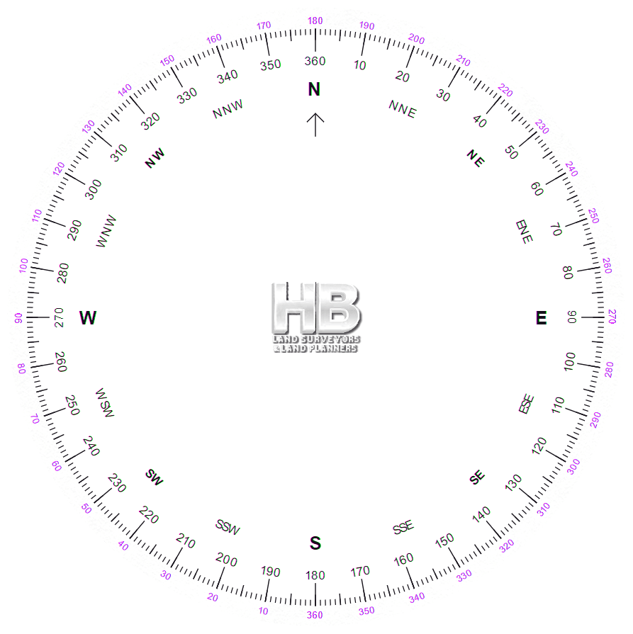
NORTH – The primary reference direction relative to the earth. See ASTRONOMIC NORTH, GEODETIC
NORTH, GRID NORTH, MAGNETIC NORTH, and TRUE NORTH.
NORTH AMERICAN DATUM OF 1927 (1927 NAD) – This datum is identical with the North American Datum except that the azimuth was changed. It was adopted in 1927 after a readjustment of the triangulation of the entire country, in which Laplace azimuths were introduced. It is now standard geodetic datum on the North American continent.
NORTH AMERICAN DATUM (NAD) – A Geodetic Datum for horizontal surveys superceded by the North American Datum of 1927.
NORTH ARROW – A symbol indicating the direction and the type of meridian to which the control framework of
a map or drawing is referenced. Auxiliary arrows may be shown indicating the direction of other meridians which may be of interest to the user of the map.
![]() Please feel free to contact us about Land Survey Terms or any other questions. We are here now and ready to answer.
Please feel free to contact us about Land Survey Terms or any other questions. We are here now and ready to answer.
Phone Email us
Here is a good source for becoming a Surveyor or learning about the industry to make certain it’s the right path for your future