What’s New in Land Surveying in 2024
What’s New in Land Surveying in 2024
The field of land surveying has evolved significantly over the years, and as we enter 2024, it continues to embrace innovative technologies and practices that enhance accuracy, efficiency, and sustainability.
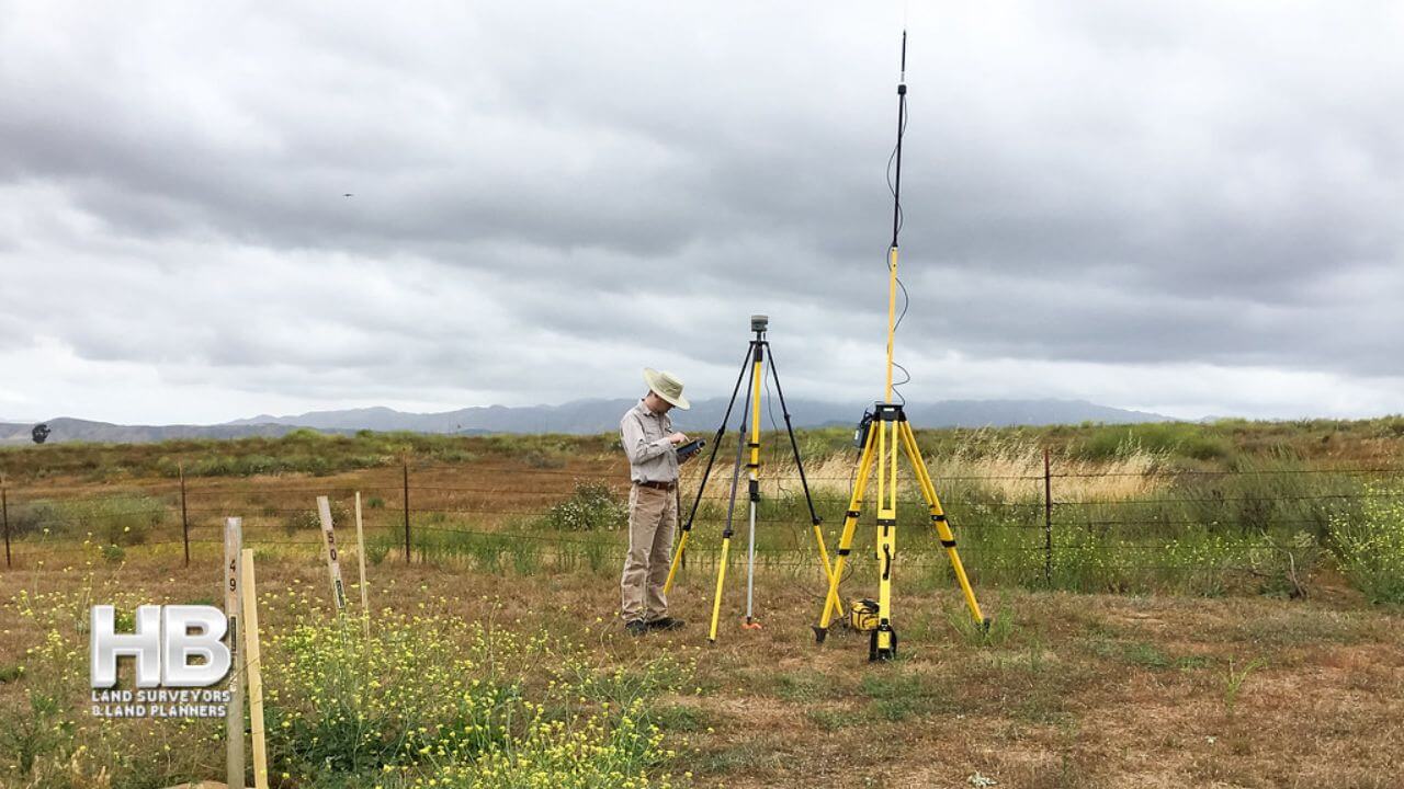
Advanced Surveying Tools and Techniques
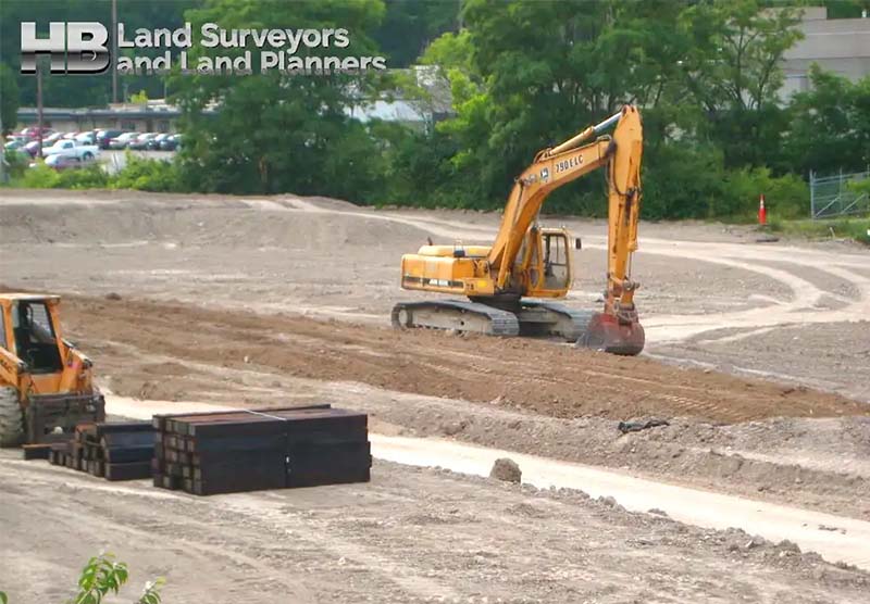
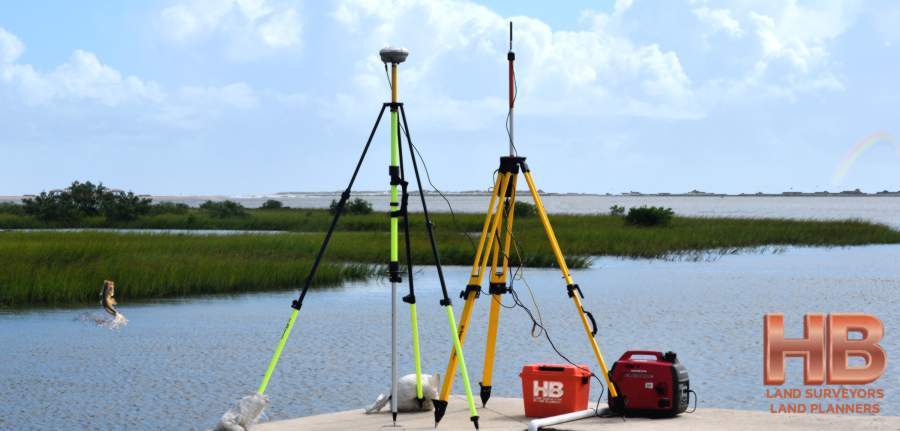
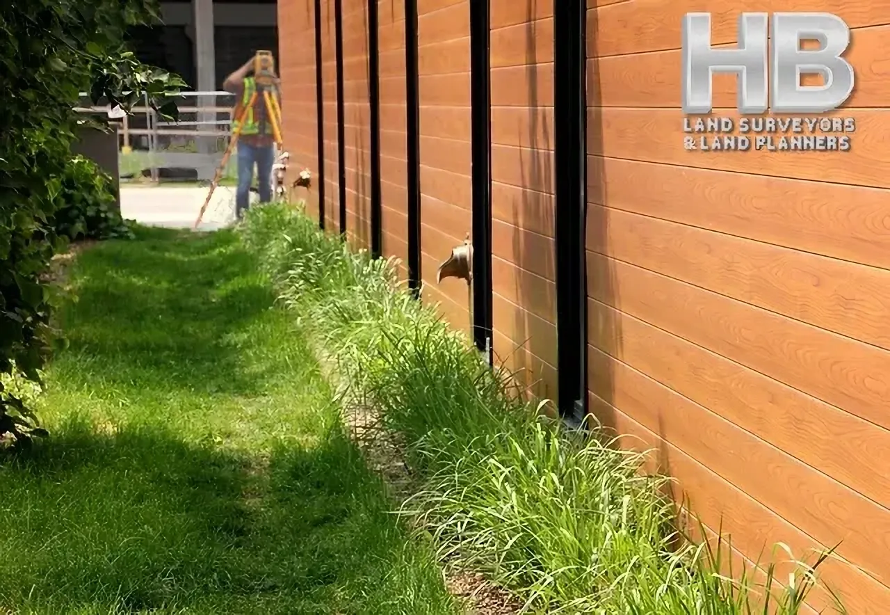
In 2024, land surveyors in Maryland are utilizing cutting-edge tools and techniques to streamline their work. High-precision Global Navigation Satellite Systems (GNSS) receivers have become standard equipment, providing accurate positioning data for surveys. Drones equipped with LiDAR (Light Detection and Ranging) technology are also being used for aerial surveys, making it easier to map large areas and gather detailed elevation data.
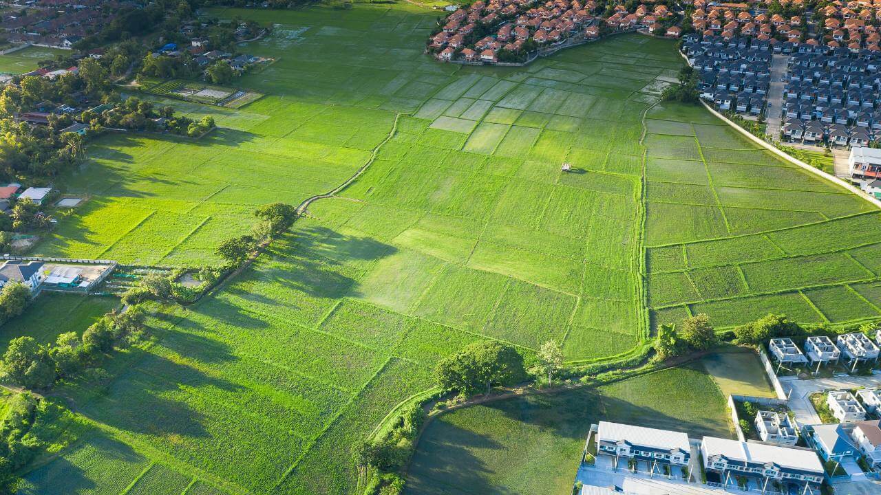
Digital Mapping and Geographic Information Systems (GIS)
Digital mapping and Geographic Information Systems (GIS) have revolutionized […]


![An image of a map showing an example of how the history of land surveying played a key role in [...]
</p srcset=](https://haller-blanchard.com/wp-content/uploads/2023/01/history-of-land-survey-united-states-territories-map-1830-300x202.png)
![an image of 2 men both on ladders one is looking through a theodolite and the other man is holding a Land [...]
</p srcset=](https://haller-blanchard.com/wp-content/uploads/2018/04/Survey-Estimates-300x300.jpg)