
Maryland’s Premier Land Survey Company Celebrating 40 Years of Excellence
Maryland’s Premier Land Survey Company Haller, Blanchard, and Associates
As Maryland’s Premier Land Survey Company and the oldest and most trusted surveying firm, Haller-Blanchard has established an enduring legacy of excellence throughout its 40-year history. Founded in Fredericks, Maryland, the company has become a cornerstone of the local surveying industry, renowned for its commitment to precision, innovation, and exceptional service.
A Legacy of Trust and Experience
Haller-Blanchard’s journey began four decades ago, rooted in a deep understanding of the unique landscape and regulatory environment of west-central Maryland. Over the years, they have built a reputation not only for their technical expertise but also for their longstanding relationships with local, county, state, and city officials. These relationships enable the company to navigate permitting and approvals swiftly and smoothly, giving […]


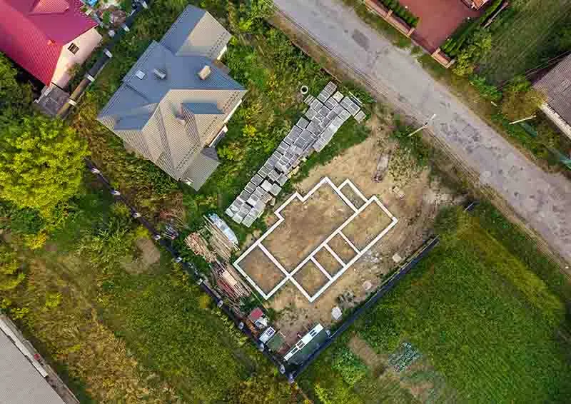
![A aerial image of a plot with the outline of the [...]</body></html>](https://haller-blanchard.com/wp-content/uploads/2024/01/aerial-view-of-building-site-for-future-house-350x248.webp)

