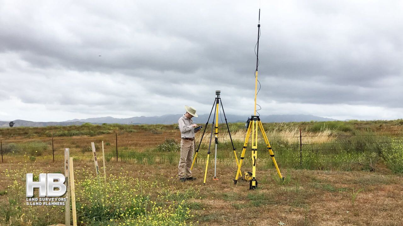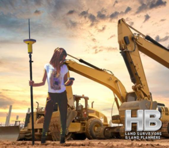
An image of a Spanish American Woman Conducting a Boundary Survey, she is standing in front of 2 large backhoes it looks to be dusk with a multi colored sky of red, yellow, blue and white, she is wearing a white t-shirt and green cargo pants.

Since 1985 Boundary Surveys By Haller, Blanchard, and Associates Frederick, MD.


Survey Types

It is our intention to provide in-depth descriptions of the Land Survey and Land Planning Survey Types Provided by Haller, Blanchard, and Associates.


Those Survey Types will include but are not limited to, Land Surveys, Property Surveys, Boundary Surveys, ALTA Surveys, Topographic Surveys, As-Built Surveys, Site Surveys, Plat of Surveys, Residential Surveys, House Surveys, Staked Surveys, and more.


And a bit more…

Land surveying is the process of measuring and mapping land and other features of the earth’s surface. It is an essential tool for various purposes such as property disputes, construction, urban planning, and resource management.

There are different types of land surveying methods, each with its unique characteristics and applications. In this category, we will go through some of the most common land survey types.

Boundary Surveys:
Boundary surveys are among the most common types of land surveying, and their purpose is to establish property lines and boundaries.

These surveys involve measuring and mapping the property’s corners and lines, which are then used to determine the exact size and shape of the property.

Boundary surveys are often required when purchasing or selling land, settling property disputes, and obtaining building permits.

Topographic Surveys:
Topographic surveys are used to map the natural and man-made features of the land, including hills, valleys, streams, roads, and buildings.

These surveys help to determine the land’s suitability for construction and development, and they provide valuable information for urban planning, resource management, and environmental assessments.

Topographic surveys are also used to create maps and models that show the land’s contours, elevations, and other physical features.

Construction Surveys:
Construction surveys are used to prepare for and monitor the progress of construction projects.

These surveys involve measuring and marking the land’s boundaries, setting out the site’s grades and elevations, and determining the location of structures and other features.

Construction surveys ensure that the building is constructed according to the design plans and that it complies with local building codes and regulations.

Geodetic Surveys:
Geodetic surveys use advanced measurement techniques and technologies to map large areas of the earth’s surface.

These surveys take into account the curvature of the earth, gravitational variations, and other factors that can affect the accuracy of the measurements.

Geodetic surveys are used for a variety of purposes, including mapping the Earth’s magnetic field, monitoring changes in the Earth’s crust, and creating accurate global positioning system (GPS) coordinates.

ALTA/NSPS Land Title Surveys:
ALTA/NSPS land title surveys are used to provide a comprehensive and standardized report on a property’s title, ownership, and use.

These surveys are required by lenders, insurance companies, and other entities involved in real estate transactions.

They are used to ensure that the property is free of liens, encumbrances, and other legal issues that could affect its value.

ALTA/NSPS surveys are typically more detailed than other types of surveys and are often used in commercial real estate transactions.

Floodplain Surveys:
Floodplain surveys are used to map areas of land that are at risk of flooding.

These surveys help to identify flood-prone areas and to develop strategies to manage the risk of flooding.

Floodplain surveys are often required by local and federal agencies to ensure that development in flood-prone areas is done safely and responsibly.

Finally, land surveying is an important tool for property owners, property buyers, developers, realtors, and conflict resolution.

The different types of land surveying methods each serve a specific purpose, and they are critical for a wide range of applications.

From establishing property boundaries to managing flood risks, land surveying plays an important role in shaping our communities and managing our natural resources.

Call us today at 301-846-7788  for additional information including what survey is best to address your needs. Or complete our “Call Me” form and we will be happy to call you on your chosen Date and Time.
Stakeout Surveys

What Are Construction Stakeout Surveys And How Does It Help Construction Projects?

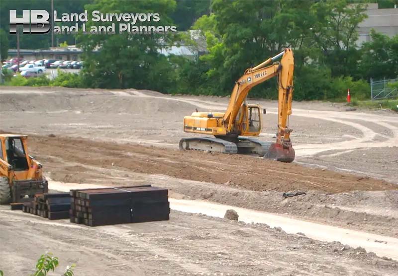
Construction stakeout surveys refer to the technique of using driven stakes to establish ground survey sites during a physical or boundary survey. Haller Blanchard Surveyors uses stakes to determine the boundaries and elevations of a home or commercial construction project. We pre-calculate the land area’s design measurements and physically mark them on-site. These stakes show elevations, lateral positioning, orientation, and grading for roads, pathways, homes, landscape, drains, and other requirements, determining the physical qualities for developing.

Land Surveying Construction Building Stakeout Layout

Haller Blanchard Stakeout Survey Services:

Haller Blanchard’s stakeout survey service experience includes everything from single and multi-family home or construction […]

Stakeout Surveys2023-09-17T06:37:16-04:00

As-Built Surveys

As-Built Survey

Reasons To Perform This Survey For Your Construction Project

During construction, an As-Built Survey is a record of the location of improvements “as they are built.” Construction improvements such as sewer pipes, buildings, utilities, and pavement may be installed in locations other than those specified in the original plan.

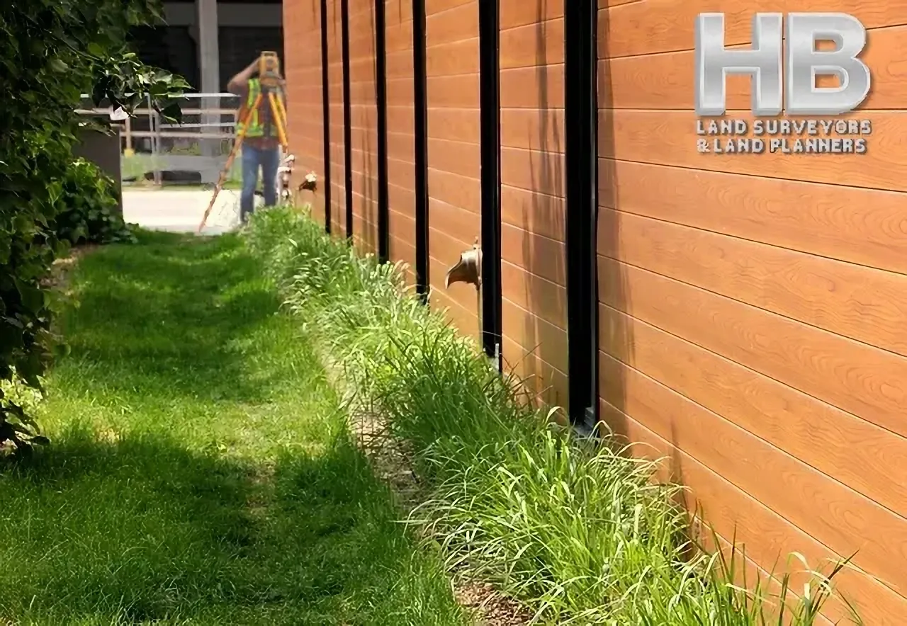
An image of a sunny summer dat with a Man of Color in the forefront of the image, he is performing a As-Built Survey he is looking through a orange theodolite mounted on a tripod, he has a slight grin, he looks happy

As-Built Surveys2023-11-16T23:03:01-05:00

Surveyor Near Me

Land Surveyor Near Me, an often-used Keyword Search Phrase.

Given the fact Hall, Blanchard and Associates are the oldest Land Survey and Land Planning Company in all of West-Central Maryland, you might think HBA would be at the top of Google when searching for “Land Surveyors Near Me” by default.

But that’s not how the internet works.

Since 1985, and for 39 Years, HBA has been serving Frederick Maryland, which is long before the internet became mainstream. And well before the 1st official website was launched in 1995. Also, see. History of the World Wide Web.

And in the vernacular of youth. “Back in the day”, Haller, Blanchard, and Associates used the typical methods or channels of marketing. E.g. Snail Mail, Phone Books, Targeted […]

Surveyor Near Me2023-11-16T23:04:45-05:00

Land Survey Services – What to Expect from your Land Survey Company


Land Survey Companies – What to Expect from a Land Survey Company Today

At Haller-Blanchard and Associates we provide a wide scope of land survey services. Anything from lot stake-out surveys to topographic surveys, and almost everything in between. One of the main specialized services we provide as a land survey company is subdivision land surveys.

Land surveying will always involve depicting the legal borders of your property. It can include a variety of other things as well, depending on what the survey is for. Things like easements, important land features, infringements from other properties, etc. But what is it that makes subdivision land surveys a little bit different?

Land Survey Services – The Purpose

The general purpose […]

Land Survey Services – What to Expect from your Land Survey Company2025-01-20T15:19:37-05:00

Land Survey History in Maryland

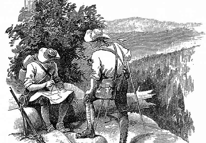
A black and white Image of 2 Female Land Surveyors Circa 1919
Land Survey History→ an animated book icon flipping pages used to indicate a book link


am image of a stamp commemoration Benjamin Banneker an black scientist and land surveyor

Benjamin Banneker is often referred
to as America’s 1st black scientist.
He was also a land surveyor.

Land Survey History in Maryland2024-11-20T16:06:02-05:00

A Land Survey – The Foundation of any Construction Project

What is a land survey?

A land survey helps you understand the many facets and details of your land. Land surveys are used to locate, characterize, commemorate, and map a portion of the land’s boundaries. It could also contain the land’s terrain, the position of buildings, and other improvements.

A land survey is the foundation or one of the first steps of any construction project.

Professional land surveyors are trained to define property boundaries using a complex combination of law, mathematics, technology, and the sciences.

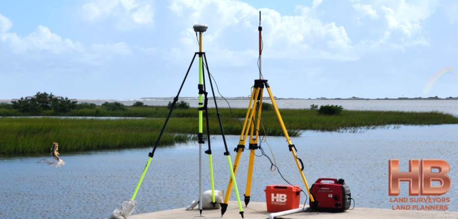
We conduct surveys, using specialized equipment such as GPS, Theodolites, Laser Technology, and Software.

A survey expert on a construction site holding a clipboard while another expert surveyor looks through a theodoliteExperienced Professional Land Surveyors

In West Central […]

A Land Survey – The Foundation of any Construction Project2024-11-20T16:02:04-05:00

What happens when you search the web for “surveyors near me” or “land surveyor near me”?

What Really Happens When You Search The Phrase “Surveyors Near Me” or “Land Surveyor Near Me” behind the scenes?

Like so many people today, when in need of a Professional Land Surveyor near you, an internet search like, “land surveyors near me”, or “survey companies near me”, is the first and only source people use.

And in fact, an internet search is, by a significant percentage, the most popular choice. The number of people still using the hardcopy of the Yellow Pages or a local phone directory grows ever smaller each day. The internet is faster, with more options, and with more information like company reviews.

And the “About” page can be a good source for […]

What happens when you search the web for “surveyors near me” or “land surveyor near me”?2024-11-20T14:54:54-05:00
Go to Top