Making the Right Choice: How Google Simplifies Finding the Perfect Surveyor
[break]
Making the Right Choice: How Google Simplifies Finding the Perfect Surveyor
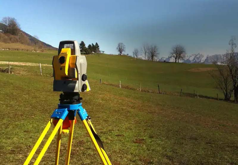
If you’re thinking you need a property survey and you search for a surveyor in Google with ‘surveyor near me,’ you will see plenty of options. But Google helps with the decision-making, and here’s how.
In the modern era of digital convenience, the task of finding a professional service, such as a property surveyor, has transformed significantly. Google, the ubiquitous search engine, not only presents a plethora of choices but also aids in refining and simplifying the decision-making process. This essay explores how Google streamlines the search for a reliable property surveyor, ensuring that homeowners and property investors make well-informed decisions.
Find Companies Near You
Firstly, Google’s powerful search algorithm provides localized results. Typing […]