House Location Survey
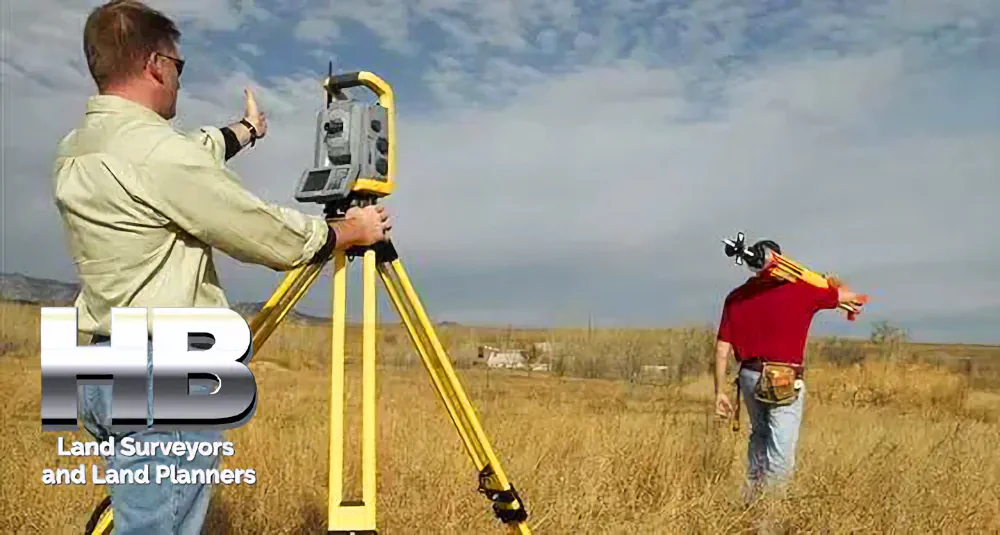
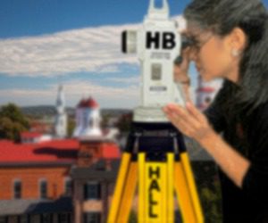
By Haller & Blanchard & Associates
When people contact our office asking what kind of survey will they need for buying or refinancing a home, most of them are talking about a house location survey. After years of walking properties and helping homeowners through stressful deadlines, I’ve learned that this survey brings a lot of clarity to all parties.
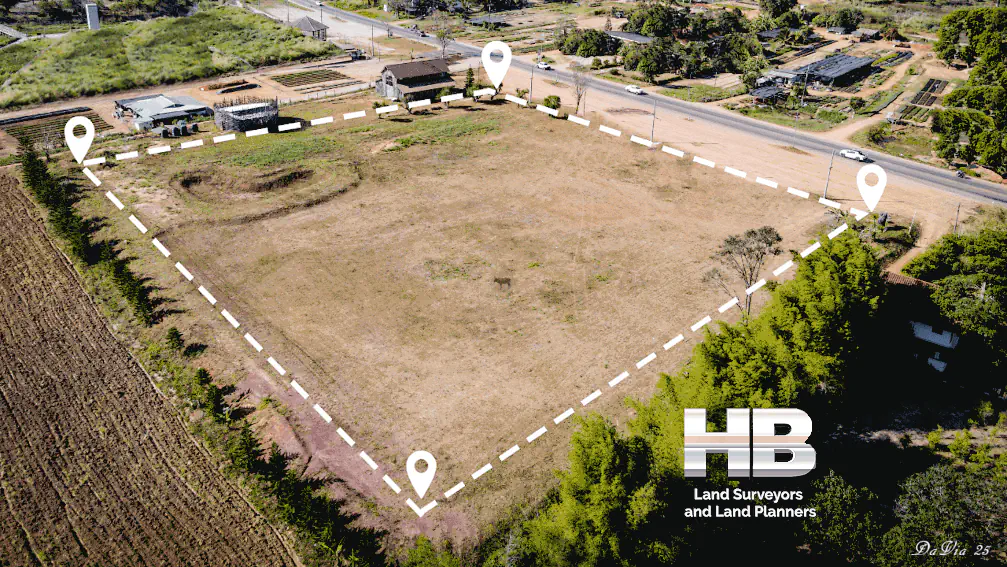
A house location survey is designed to confirm where the house and visible improvements sit on the property. It shows the footprint of the home, driveways, sheds, decks, and anything else that’s clearly part of the lot. Most lenders and title companies require this survey before settlement because it protects everyone involved — especially the buyer. read more


Land Survey
Oldest, Most Trusted, and Most ExperiencedLand Surveyors


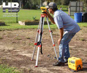
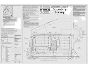
ALTA - NSPS Survey
Experience Counts. Rest Assured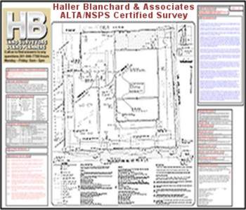
Property Survey
Professional and AccurateProperty Surveyors

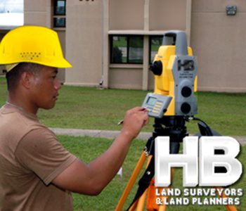
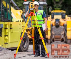
Site Survey
Avoid High Cost MistakesSite Surveyors


Done Fast, Done Right

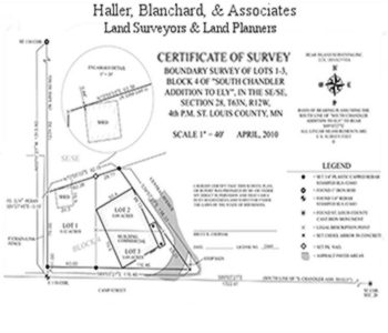
Boundary Survey
Haller, Blanchard 37 Yrs in FrederickBoundary Surveyors
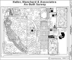
As Built Survey
More Detailed and ResearchAs-Built Surveyors
Wall Check Survey
Avoid Costly Legal Disputes
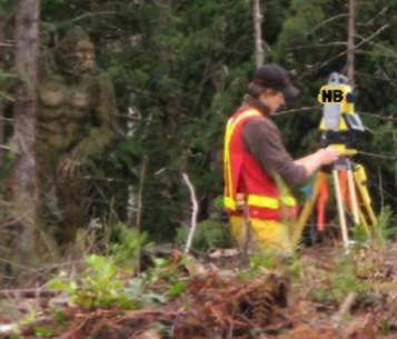
Topographic Survey
Fast Surveys and Permits Lowers CostTopographic Surveyors
Residential Survey
Don't Take Unnecessary RisksResidential Surveyors
land surveyor near me
survey companies near me
surveyors near me NSPS Survey
wall check survey
property line survey site survey
property survey
as-built survey
boundary survey
stake-out survey
Proudly Serving Frederick, Maryland And All Of West Central Maryland For More Than 38 Years

When we needed our new coliseum staked out we called Haller and Blanchard. They were very professional and friendly I recommend H&B to anyone looking for a great survey service.
I called Haller and Blanchard to survey some land I’m building a new cheese shop on. It was a rush job that needed to be done asap. They came out and had the job done that day. Great Service!
Our experience with Haller and Blanchard has been nothing short of professional. They are highly accurate and knowledgeable we recommend them whole heartedly.