

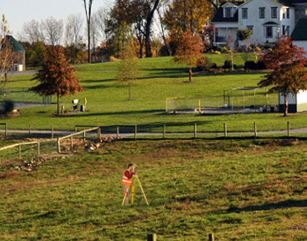
As-Built Surveys
As-Built Survey
Reasons To Perform This Survey For Your Construction Project
During construction, an As-Built Survey is a record of the location of improvements “as they are built.” Construction improvements such as sewer pipes, buildings, utilities, and pavement may be installed in locations other than those specified in the original plan.

Unforeseen challenges during construction may have resulted in adjustments to the original design in the field. And therefore an As-Built Survey is a set of drawings depicting the final location of the field alterations for future […]


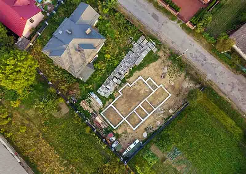
![A aerial image of a plot with the outline of the [...]</body></html>](https://haller-blanchard.com/wp-content/uploads/2024/01/aerial-view-of-building-site-for-future-house-350x248.webp)