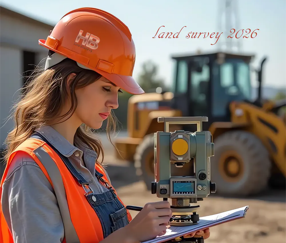
Land Survey 2026
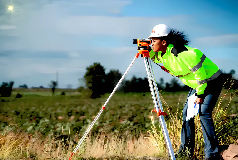
Land Survey
Land Survey 2026
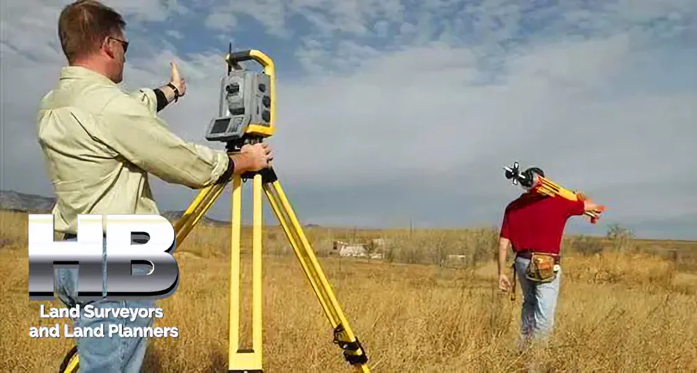
By a Haller & Blanchard Team Member
When someone calls our office and simply asks for a land survey, I always take a moment to ask a few clarifying questions.
Not because the term is wrong, but because it’s incredibly broad. “Land survey” can mean different things to different people, depending on what they need, what stage of property ownership they’re in, and what problems they’re trying to solve.
Over the years, I’ve learned that most clients just want clear answers — and that’s exactly what we provide here at Haller & Blanchard.
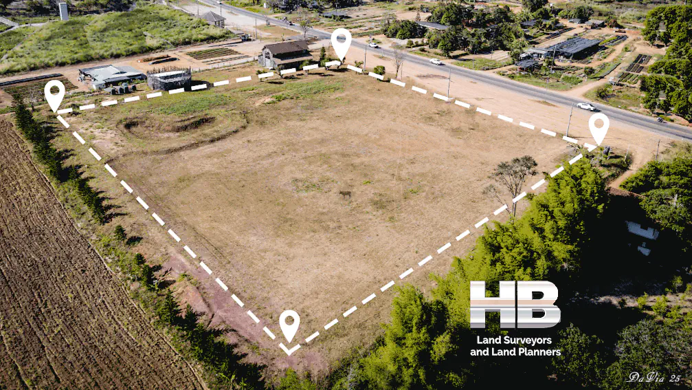
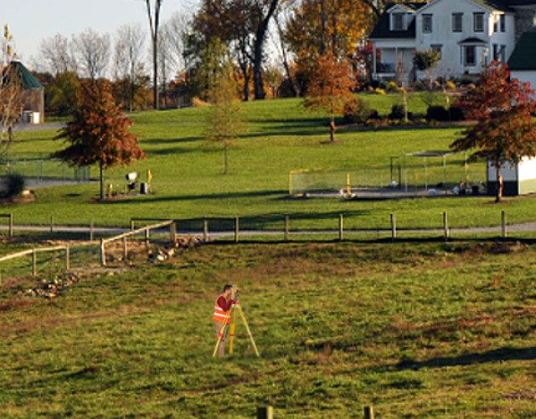
A land survey is essentially the process of measuring and mapping a piece of land. That sounds simple, but the work behind it can be surprisingly detailed. Every survey starts with research.
We review […]