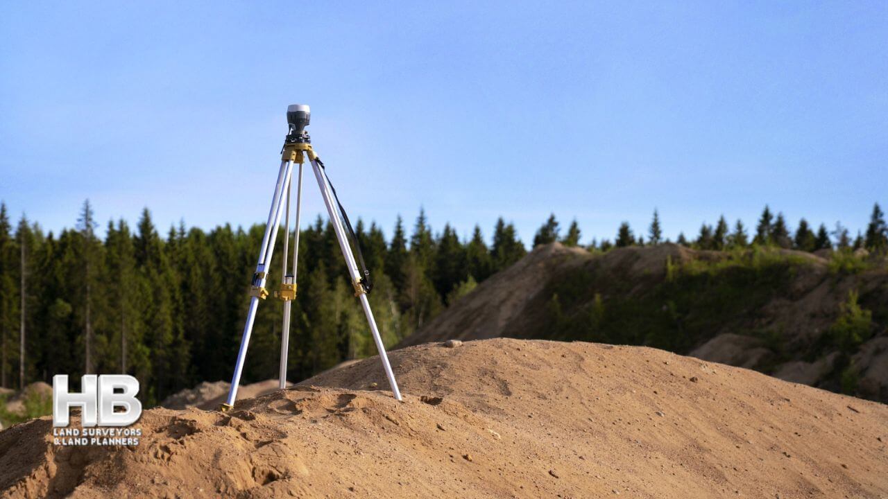
What are Land Surveys?

What Are Land Surveys?

A land survey is often done when a property is bought or sold, a mortgage is obtained, or a boundary dispute arises. Land surveys can also be conducted for construction projects, to create maps, or to establish legal descriptions for a property.

Types of Land Surveys

There are many types of land surveys, including boundary surveys, topographic surveys, and mortgage location certificates. A boundary survey is the most common type of land survey used to determine the precise location of a property’s boundaries. A topographic survey is a detailed survey that shows a piece of land’s natural and manufactured features, including elevations, contours, and structures. A mortgage location certificate is a simplified survey typically required by mortgage lenders to confirm the location of a […]

What are Land Surveys?2023-09-17T06:37:17-04:00

Topographical Land Surveys

Topographic Land Surveys

Topographic Land Surveys are important for finding the various features and elevations of a property before beginning any substantial construction/development project or environmental improvement project. With the highest level of accuracy, Haller Blanchard & Associates Land Surveyors has many years of experience doing this type of Survey. Additionally, our Land Surveyors in Maryland provide a vast array of precise and reasonably priced Topo Survey services.

We provide superior surveys delivered on time and meet or exceed local and state criteria. We have the knowledge and experience to ensure that Surveys are done correctly, whether you require a straightforward Topographic, Boundary, Stake Out, ALTA Survey, or As-Built Survey.

In addition, our Land Surveyors continue to play a crucial role in the development of our […]

Topographical Land Surveys2023-11-16T23:00:00-05:00
Go to Top