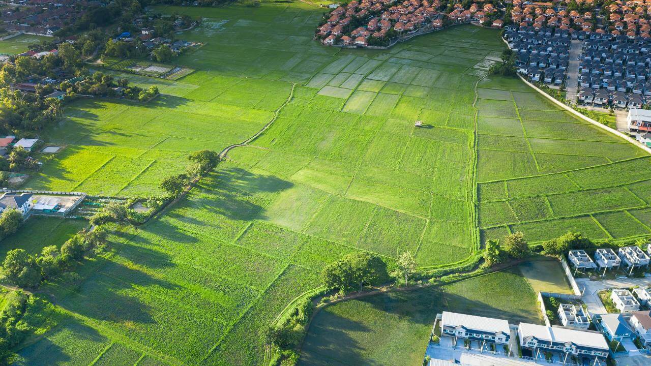
Land Survey in Rockville, Maryland

Land Survey in Rockville, Maryland

Rockville, Maryland—now a bustling suburb of Washington, D.C.—has a rich history of land surveying that reflects broader patterns of settlement, land use, and urban development in the Mid-Atlantic region.

From its colonial roots to its present-day role as a governmental and residential hub in Montgomery County, the evolution of land surveying in Rockville tells a story of growth, innovation, and community planning.

The foundations of land surveying in Rockville date back to the 18th century, when European settlers began moving inland from the Chesapeake Bay and Potomac River regions.

The land that would become Rockville was originally part of a larger tract known as “Hungerford’s Tavern,” named for a central tavern that served as a meeting place.

Surveyors of the time used rudimentary tools such […]

Land Survey in Rockville, Maryland2025-06-15T23:45:45-04:00

Maryland’s Premier Land Survey Company Celebrating 40 Years of Excellence

Maryland’s Premier Land Survey Company Haller, Blanchard, and Associates

As Maryland’s Premier Land Survey Company and the oldest and most trusted surveying firm, Haller-Blanchard has established an enduring legacy of excellence throughout its 40-year history. Founded in Fredericks, Maryland, the company has become a cornerstone of the local surveying industry, renowned for its commitment to precision, innovation, and exceptional service.

A Legacy of Trust and Experience

Haller-Blanchard’s journey began four decades ago, rooted in a deep understanding of the unique landscape and regulatory environment of west-central Maryland. Over the years, they have built a reputation not only for their technical expertise but also for their longstanding relationships with local, county, state, and city officials. These relationships enable the company to navigate permitting and approvals swiftly and smoothly, giving […]

Maryland’s Premier Land Survey Company Celebrating 40 Years of Excellence2025-05-06T10:53:05-04:00

The History of Land Surveying in the United States

Land Surveying and the Expansion of the United States

The history of land surveying in the United States dates back to the colonial era when the first settlers began to claim and develop land in the new world.

One of the colonies’ first significant land surveying projects was surveying the Mason-Dixon line in the 18th century, which established the boundary between Pennsylvania and Maryland.

This survey, conducted by Charles Mason and Jeremiah Dixon, helped to resolve a long-standing boundary dispute between the two colonies and set a precedent for future boundary surveys in the country.

The General Land Office and the Survey of Public Lands

An image of a map showing an example of how the history of land surveying played a key role in  [...]
</p srcset=

The History of Land Surveying in the United States2025-05-05T19:20:59-04:00
Go to Top