Boundary Survey Cost and Price

Boundary Survey Cost & Price 

By a Haller & Blanchard Team Member

Boundary Survey Cost & Price 2026

By a Haller & Blanchard

One of the most common questions we hear at Haller & Blanchard is: “How much does a boundary survey cost?” People often assume surveys come with a flat price — something like buying a tool off a shelf. But a boundary survey is a professional service shaped by history, terrain, and the unique conditions of each property. After years in this field, I’ve learned that no two jobs are ever the same.

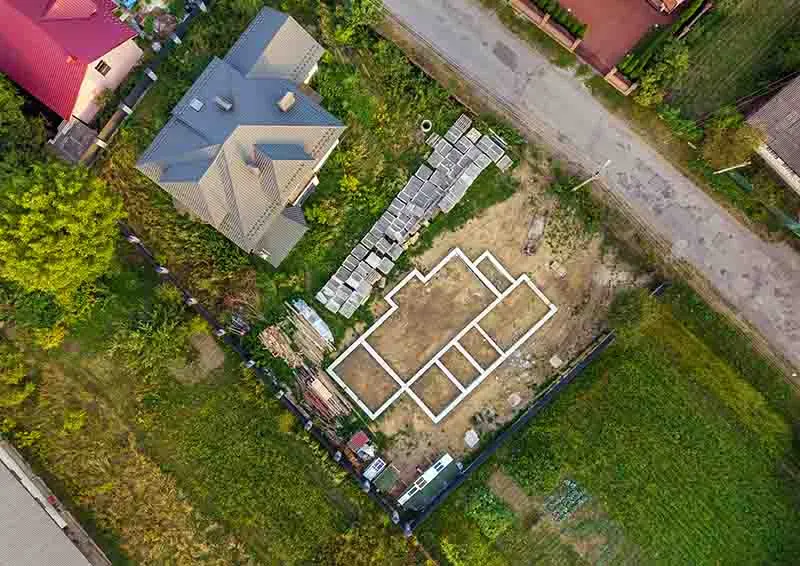
A boundary survey establishes the exact legal limits of a property. We locate or reset property corners, analyze deed descriptions, compare historical records, and create a plat showing the true boundaries. If you’re putting up […]
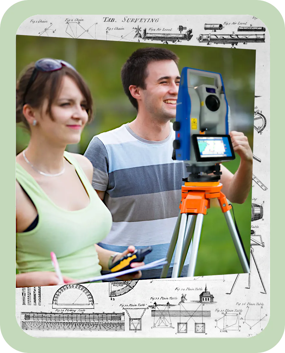
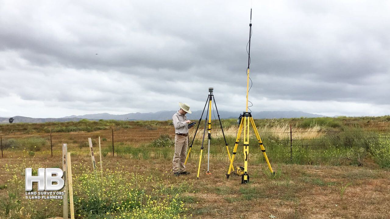
Boundary Survey Cost and Price2025-12-16T00:04:19-05:00

House Location Survey

House Location Survey

By a Haller & Blanchard Team Member

When people contact our office asking what kind of survey will they need for buying or refinancing a home, most of them are talking about a house location survey. After years of walking properties and helping homeowners through stressful deadlines, I’ve learned that this survey brings a lot of clarity to all parties.

A house location survey is designed to confirm where the house and visible improvements sit on the property. It shows the footprint of the home, driveways, sheds, decks, and anything else that’s clearly part of the lot. Most lenders and title companies require this survey before settlement because it protects everyone involved — especially the buyer.

Even though this survey isn’t as detailed as a boundary […]

House Location Survey2025-12-12T18:09:48-05:00

The Future of Land Surveying in 2026

The Future of Land Surveying in 2026 and Beyond

By Haller & Blanchard & Associates

As we move closer to 2026, the land surveying profession is entering one of the most transformative eras in its long history.

At Haller & Blanchard, West-Central Maryland’s oldest, most trusted, and most experienced land surveying firm, we’ve spent more than 4 decades helping shape the region.

Today, we’re witnessing innovations that are changing the way we capture, measure, and understand land.

And while the tools are evolving rapidly, our commitment to accuracy, integrity, and service remains exactly the same.

AI-Driven Precision Takes Center Stage

Artificial intelligence has officially moved beyond buzzword status. In 2026, AI is directly embedded into core surveying workflows.

Instead of manually sorting through raw field data, AI systems now instantly classify terrain, identify […]

The Future of Land Surveying in 20262025-12-12T12:10:52-05:00

The Evolution of Land Survey Services in 2025

The Evolution of Land Survey Services in 2025

The field of land surveying is poised for significant changes in 2024, driven by technological advancements, regulatory shifts, and the increasing demand for accurate geospatial data.

In this two-part series, we’ll explore the key trends and developments that are expected to shape land survey services in the coming year.

  1. Drone Technology Revolution: One of the most notable advancements in land surveying is the increased integration of drone technology.Drones equipped with LiDAR (Light Detection and Ranging) and high-resolution cameras have revolutionized data collection processes.

    Surveyors can now efficiently gather data from hard-to-reach areas, reducing safety risks and cutting costs. In 2024, we can expect to see more surveying firms adopting […]

The Evolution of Land Survey Services in 20252025-11-30T17:05:10-05:00

Challenges and Opportunities in Land Survey Services in 2024

Land Surveying in 2024 – Opportunities and Challenges

In Part 1, we explored some of the key trends and advancements expected to impact land survey services in 2024.

In this continuation, we will discuss the challenges and opportunities that these changes present to surveyors, as well as their implications for the industry’s workforce and education.

Challenges:

  1. Adoption Costs: While drone technology, AI, and advanced GPS systems offer significant benefits, the initial investment required for equipment and training can be a barrier for some surveying firms.Smaller businesses may struggle to keep up with larger competitors who can afford these innovations.
  2. Data Privacy and Security: As the industry relies more on digital tools and cloud-based platforms, ensuring the privacy and security of sensitive geospatial data […]
Challenges and Opportunities in Land Survey Services in 20242024-11-26T14:39:06-05:00

The Evolution of Land Survey Services in 2024

The Evolution of Land Survey Services in 2024

The field of land surveying is poised for significant changes in 2024, driven by technological advancements, regulatory shifts, and the increasing demand for accurate geospatial data. In this two-part series, we’ll explore the key trends and developments that are expected to shape land survey services in the coming year.

  1. Drone Technology Revolution: One of the most notable advancements in land surveying is the increased integration of drone technology. Drones equipped with LiDAR (Light Detection and Ranging) and high-resolution cameras have revolutionized data collection processes. Surveyors can now efficiently gather data from hard-to-reach areas, reducing safety risks and cutting costs. In 2024, we can expect to see more surveying firms adopting drones as a standard tool in […]
The Evolution of Land Survey Services in 20242024-11-19T16:18:31-05:00

The Future of Land Surveying

The Future of Land Surveying

Due to the exponential growth of technological innovation, the future of land surveying and the survey profession is evolving swiftly. Professionals in the present and the future should be aware of these developments and what they signify for their career paths because this trend will undoubtedly continue.

Land Surveying Innovations

The history of the land surveying profession is extensive and colorful. There has always been a need for surveyors, from Ancient Egypt to the present. But in the current day, we’ve created procedures for doing land surveys that are more precise and effective.

Haller Blanchard has been an image of 2 men both on ladders one is looking through a theodolite and the other man is holding a Land  [...]
</p srcset=

The Future of Land Surveying2025-11-05T16:56:40-05:00
Go to Top