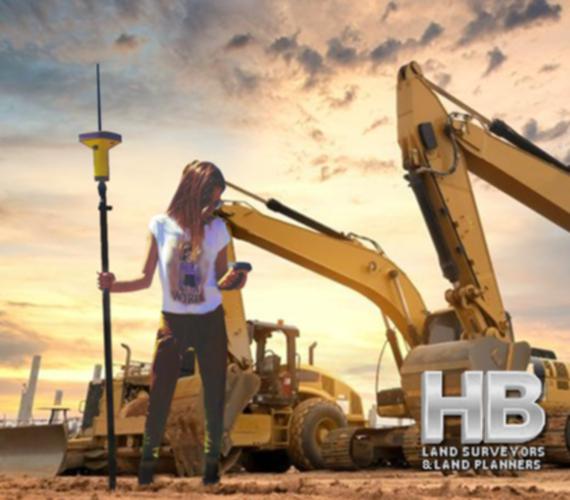
An image of a Spanish American Woman Conducting a Boundary Survey, she is standing in front of 2 large backhoes it looks to be dusk with a multi colored sky of red, yellow, blue and white, she is wearing a white t-shirt and green cargo pants.

Since 1985 Boundary Surveys By Haller, Blanchard, and Associates Frederick, MD.


Survey Types

It is our intention to provide in-depth descriptions of the Land Survey and Land Planning Survey Types Provided by Haller, Blanchard, and Associates.


Those Survey Types will include but are not limited to, Land Surveys, Property Surveys, Boundary Surveys, ALTA Surveys, Topographic Surveys, As-Built Surveys, Site Surveys, Plat of Surveys, Residential Surveys, House Surveys, Staked Surveys, and more.


And a bit more…

Land surveying is the process of measuring and mapping land and other features of the earth’s surface. It is an essential tool for various purposes such as property disputes, construction, urban planning, and resource management.

There are different types of land surveying methods, each with its unique characteristics and applications. In this category, we will go through some of the most common land survey types.

Boundary Surveys:
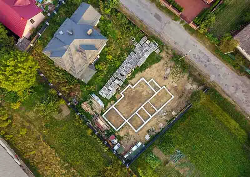
Boundary surveys are among the most common types of land surveying, and their purpose is to establish property lines and boundaries.

These surveys involve measuring and mapping the property’s corners and lines, which are then used to determine the exact size and shape of the property.

Boundary surveys are often required when purchasing or selling land, settling property disputes, and obtaining building permits.

Topographic Surveys:
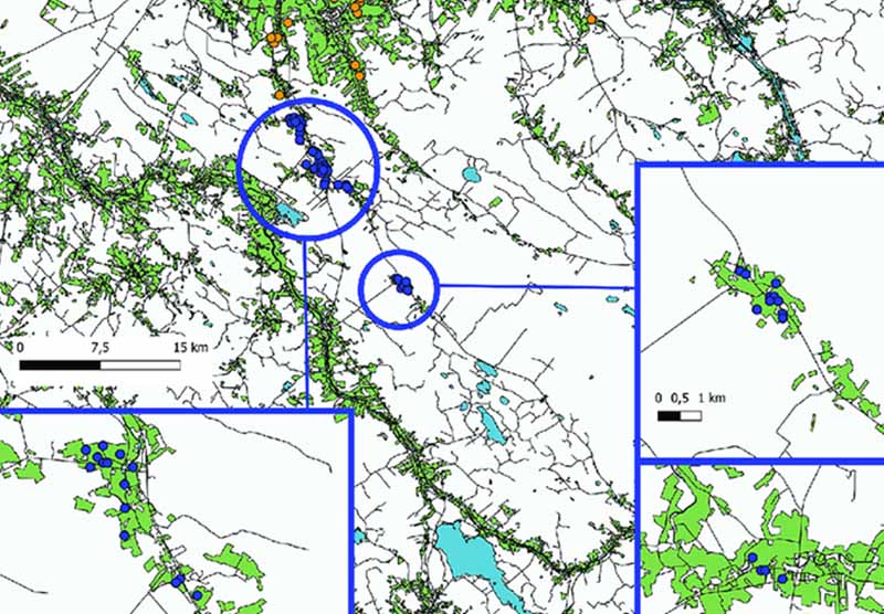
Topographic surveys are used to map the natural and man-made features of the land, including hills, valleys, streams, roads, and buildings.

These surveys help to determine the land’s suitability for construction and development, and they provide valuable information for urban planning, resource management, and environmental assessments.

Topographic surveys are also used to create maps and models that show the land’s contours, elevations, and other physical features.

Construction Surveys:
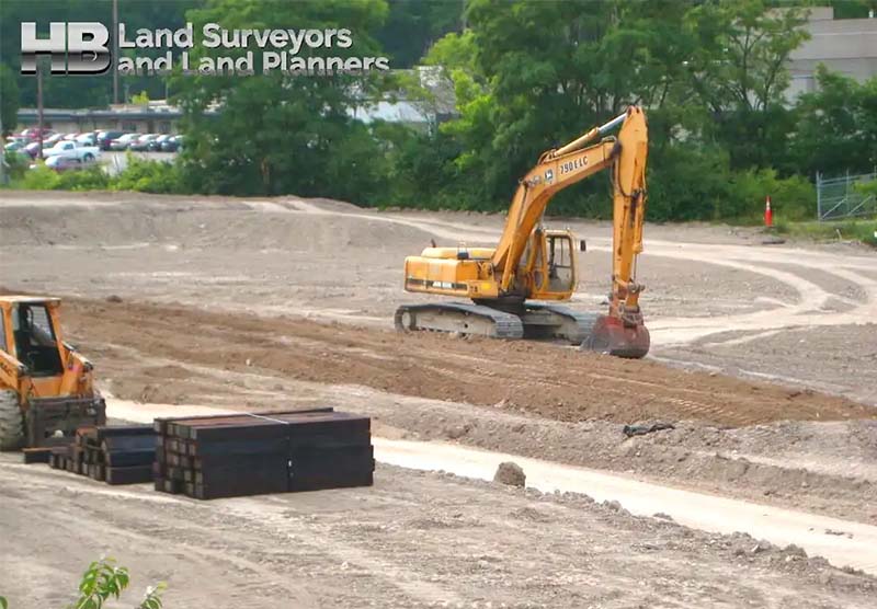
Construction surveys are used to prepare for and monitor the progress of construction projects.

These surveys involve measuring and marking the land’s boundaries, setting out the site’s grades and elevations, and determining the location of structures and other features.

Construction surveys ensure that the building is constructed according to the design plans and that it complies with local building codes and regulations.

Geodetic Surveys:
Geodetic surveys use advanced measurement techniques and technologies to map large areas of the earth’s surface.

These surveys take into account the curvature of the earth, gravitational variations, and other factors that can affect the accuracy of the measurements.

Geodetic surveys are used for a variety of purposes, including mapping the Earth’s magnetic field, monitoring changes in the Earth’s crust, and creating accurate global positioning system (GPS) coordinates.

ALTA/NSPS Land Title Surveys:
ALTA/NSPS land title surveys are used to provide a comprehensive and standardized report on a property’s title, ownership, and use.

These surveys are required by lenders, insurance companies, and other entities involved in real estate transactions.

They are used to ensure that the property is free of liens, encumbrances, and other legal issues that could affect its value.

ALTA/NSPS surveys are typically more detailed than other types of surveys and are often used in commercial real estate transactions.

Floodplain Surveys:
Floodplain surveys are used to map areas of land that are at risk of flooding.

These surveys help to identify flood-prone areas and to develop strategies to manage the risk of flooding.

Floodplain surveys are often required by local and federal agencies to ensure that development in flood-prone areas is done safely and responsibly.

Finally, land surveying is an important tool for property owners, property buyers, developers, realtors, and conflict resolution.

The different types of land surveying methods each serve a specific purpose, and they are critical for a wide range of applications.

From establishing property boundaries to managing flood risks, land surveying plays an important role in shaping our communities and managing our natural resources.

Call us today at 301-846-7788  for additional information including what survey is best to address your needs. Or complete our “Call Me” form and we will be happy to call you on your chosen Date and Time.

Land Survey History in Maryland: Tracing Its Foundations

Land Survey History in Maryland – Tracing the Foundations

Maryland, a state known for its rich history and diverse landscapes, has a land surveying heritage deeply embedded in its past. To truly appreciate the role of land surveying in Maryland’s development, one must delve into its historical roots, understanding how this profession shaped the state’s boundaries, land use, and infrastructure.

Exploring Maryland’s Land Survey History

Maryland’s land surveying history dates back to the early colonial period when English settlers established the first European settlements in the region during the 17th century. The need for precise property demarcation and land division became apparent as the colony expanded.

In 1723, the colonial government of Maryland passed a law known as the “Act for the Better […]

Land Survey History in Maryland: Tracing Its Foundations2025-03-03T13:58:08-05:00

Property Surveys: Why You Need One and How to Get It Done Right

Property Surveys: Why You Need One and How to Get It Done Right

Getting a survey for your property is crucial. It assures that you don’t require a mortgage if your offer on a house has been approved and accepted, before continuing further.

Property surveys establish or confirm boundary lines, the house’s location, and subsurface features like wells and septic tanks. They also outline additional restrictions and legal requirements, such as such as crossings or incursions.

Therefore, you’ll likely need a property survey when buying a new place or expanding your existing land. Let’s explore the process.

Reasons for Getting a Survey of Your Property

One of the most frequent causes for a landowner to hire a certified inspector for surveying a property is […]

Property Surveys: Why You Need One and How to Get It Done Right2023-11-08T21:27:39-05:00

Land Survey Companies – What They Do and Why To Get a Survey

Land Survey Companies – What They Do and Why To Get a Survey2023-11-05T23:16:26-05:00

Wall Check Surveys, What Are They?

Introduction:

Wall Check Surveys are a crucial component of property assessment, providing essential information about boundaries and property corners. In this article, we will explore what Wall Check Surveys are, how they are performed, when they are needed, the circumstances that require them, the latest innovations in the field, and their historical significance.

What is a Wall Check Survey?

Wall Check Surveys involve the recovery and verification of property boundaries and corners. These surveys aim to accurately determine the outline of a property, ensuring that any construction, inspections, or repairs are conducted within the appropriate boundaries. By recovering property corners and outlining the, Surveys establish the framework for precise measurements and analysis.

Wall Check Surveys, What Are They?2023-11-16T22:48:29-05:00

Types of Land Surveys


Types of Land Surveys

Land surveying is the process of measuring and mapping land and other features of the earth’s surface. It is an essential tool for various purposes such as property disputes, construction, urban planning, and resource management. There are different types of land surveys and methods, each with its own unique characteristics and applications. In this category, we will go through some of the most common land survey types.

Most Common Types of Land Surveys

Boundary Surveys:

  • Boundary surveys are among the most common types of land surveying, and their purpose is to establish property lines and boundaries. These surveys involve measuring and mapping the property’s corners. And property lines, which are […]
Types of Land Surveys2025-06-15T17:50:17-04:00

Site Surveying – What and Why?

Site Surveying: What and Why?

Site surveying is a skillful practice of measuring both the horizontal and vertical distances to approximate the locations of many points on the Earth’s surface.

Along with considering angles and the specifics of these points when crafting a plan or a map at any scale.

Determining a point’s three-dimensional or two-dimensional position on the planet, together with the angles and distances that separate it from other points, is the basis of site surveying. And could start off with a straightforward walkover survey before carrying on to more comprehensive surveys that focus on particular aspects.

The Significance of […]

Site Surveying – What and Why?2024-01-25T18:20:33-05:00

The History of Land Surveying in the United States

Land Surveying and the Expansion of the United States

The history of land surveying in the United States dates back to the colonial era when the first settlers began to claim and develop land in the new world.

One of the colonies’ first significant land surveying projects was surveying the Mason-Dixon line in the 18th century, which established the boundary between Pennsylvania and Maryland.

This survey, conducted by Charles Mason and Jeremiah Dixon, helped to resolve a long-standing boundary dispute between the two colonies and set a precedent for future boundary surveys in the country.

The General Land Office and the Survey of Public Lands

An image of a map showing an example of how the history of land surveying played a key role in  [...]
</p srcset=

The History of Land Surveying in the United States2025-05-05T19:20:59-04:00

What are Land Surveys?

What Are Land Surveys?

A land survey is often done when a property is bought or sold, a mortgage is obtained, or a boundary dispute arises. Land surveys can also be conducted for construction projects, to create maps, or to establish legal descriptions for a property.

Types of Land Surveys

There are many types of land surveys, including boundary surveys, topographic surveys, and mortgage location certificates. A boundary survey is the most common type of land survey used to determine the precise location of a property’s boundaries. A topographic survey is a detailed survey that shows a piece of land’s natural and manufactured features, including elevations, contours, and structures. A mortgage location certificate is a simplified survey typically required by mortgage lenders to confirm the location of a […]

What are Land Surveys?2023-09-17T06:37:17-04:00

Topographical Land Surveys

Topographic Land Surveys

Topographic Land Surveys are important for finding the various features and elevations of a property before beginning any substantial construction/development project or environmental improvement project. With the highest level of accuracy, Haller Blanchard & Associates Land Surveyors has many years of experience doing this type of Survey. Additionally, our Land Surveyors in Maryland provide a vast array of precise and reasonably priced Topo Survey services.

We provide superior surveys delivered on time and meet or exceed local and state criteria. We have the knowledge and experience to ensure that Surveys are done correctly, whether you require a straightforward Topographic, Boundary, Stake Out, ALTA Survey, or As-Built Survey.

In addition, our Land Surveyors continue to play a crucial role in the development of our […]

Topographical Land Surveys2023-11-16T23:00:00-05:00
Go to Top