The Future of Land Surveying in 2026 and Beyond
By Haller & Blanchard & Associates
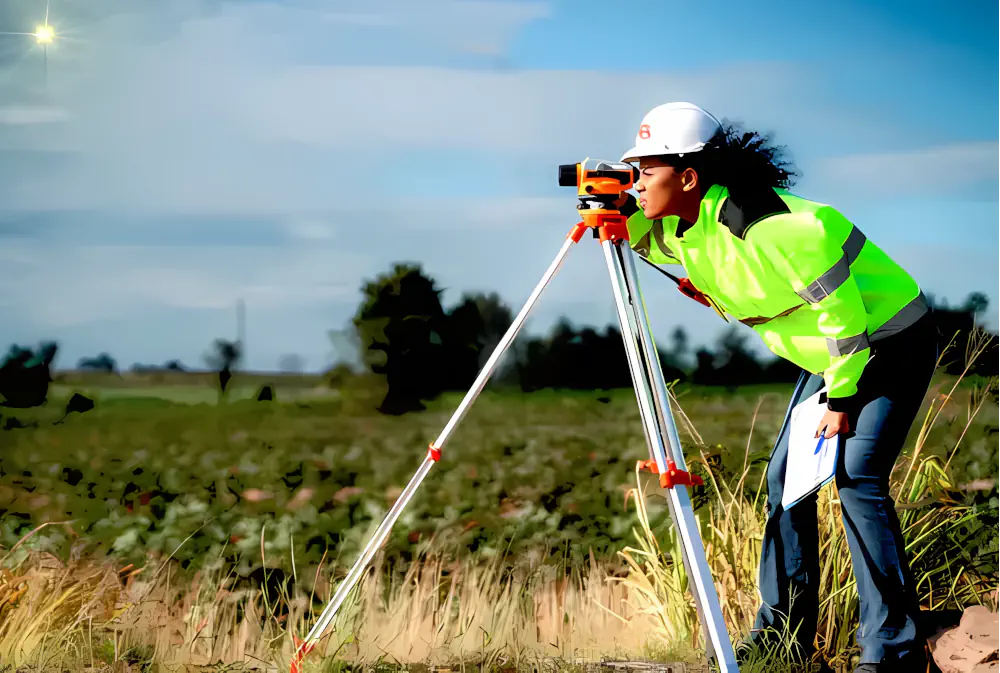
As we move closer to 2026, the land surveying profession is entering one of the most transformative eras in its long history.
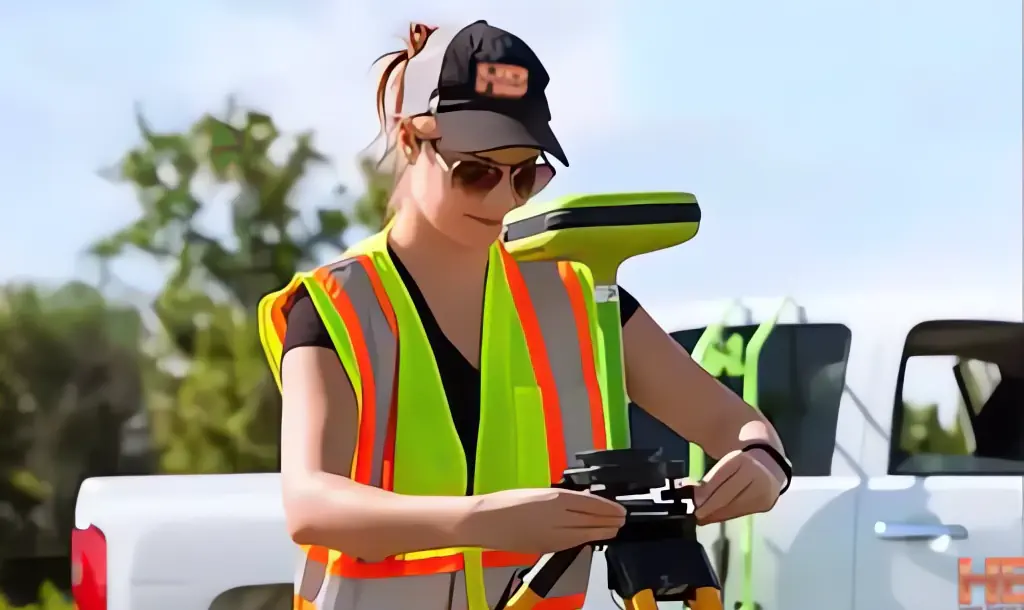
At Haller & Blanchard, West-Central Maryland’s oldest, most trusted, and most experienced land surveying firm, we’ve spent more than 4 decades helping shape the region.
Today, we’re witnessing innovations that are changing the way we capture, measure, and understand land.
And while the tools are evolving rapidly, our commitment to accuracy, integrity, and service remains exactly the same.
AI-Driven Precision Takes Center Stage
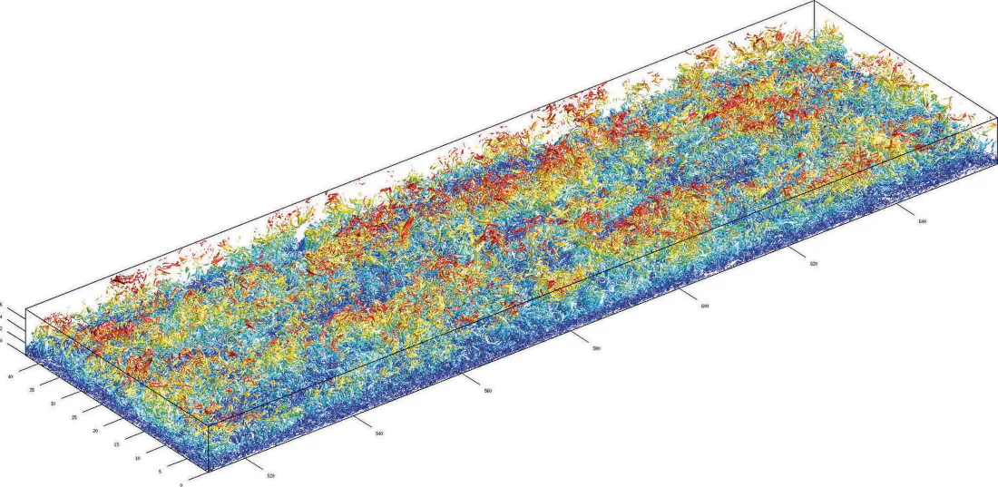
Artificial intelligence has officially moved beyond buzzword status. In 2026, AI is directly embedded into core surveying workflows.
Instead of manually sorting through raw field data, AI systems now instantly classify terrain, identify […]