The future of land surveys
The future of land surveys in Maryland
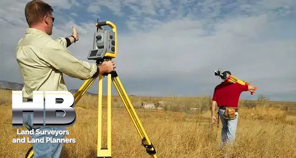
The future of land surveys, the people, the equipment, the process, why we love it, the legal and regulatory issues and more.


![]()

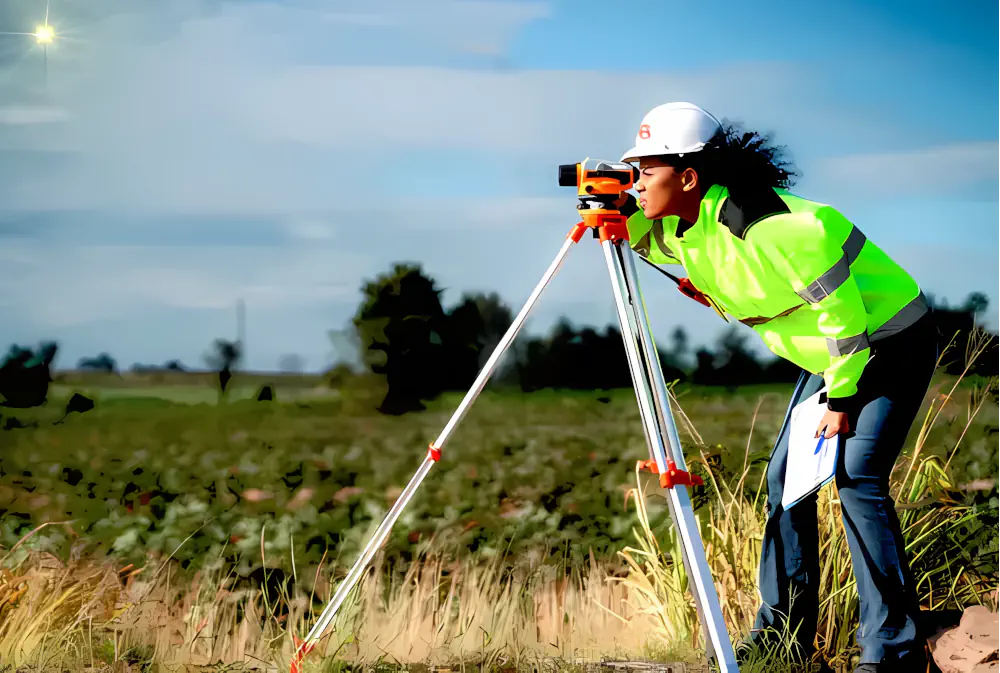
The future of land surveys, the people, the equipment, the process, why we love it, the legal and regulatory issues and more.
![]()
By a Haller & Blanchard Team Member
When someone calls our office and simply asks for a land survey, I always take a moment to ask a few clarifying questions.
Not because the term is wrong, but because it’s incredibly broad. “Land survey” can mean different things to different people, depending on what they need, what stage of property ownership they’re in, and what problems they’re trying to solve.
Over the years, I’ve learned that most clients just want clear answers — and that’s exactly what we provide here at Haller & Blanchard.
A land survey is essentially the process of measuring and mapping a piece of land. That sounds simple, but the work behind it can be surprisingly detailed. Every survey starts with research.
We review […]
During construction, an As-Built Survey is a record of the location of improvements “as they are built.” Construction improvements such as sewer pipes, buildings, utilities, and pavement may be installed in locations other than those specified in the original plan.

Unforeseen challenges during construction may have resulted in adjustments to the original design in the field. And therefore an As-Built Survey is a set of drawings depicting the final location of the field alterations for future […]
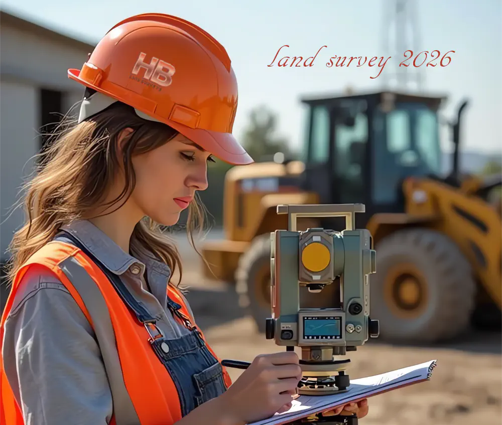
Surveyors in 2026: What Property Owners Need to Know Moving Forward
As the owner of Haller, Blanchard & Associates, I have spent more than four decades working as a professional land surveyor in West-Central Maryland.
Over that time, I have seen the profession evolve through multiple technological revolutions, economic cycles, and development trends.
As we look toward 2026, one thing is absolutely clear: the role of the land surveyor is becoming more important, not less.
Surveyors in 2026 are no longer just field technicians placing stakes in the ground. Today’s surveyor operates at the intersection of technology, law, land use planning, and risk management.
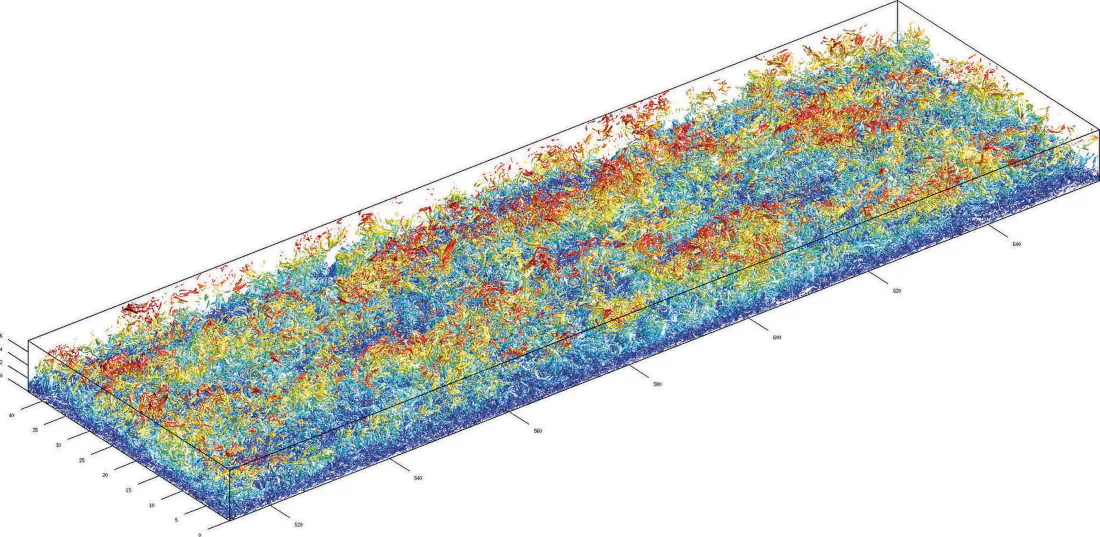
Advanced tools such as GPS, robotic total stations, laser scanning, and drones have dramatically improved efficiency and data collection. However, technology […]
By a Haller & Blanchard Team Member
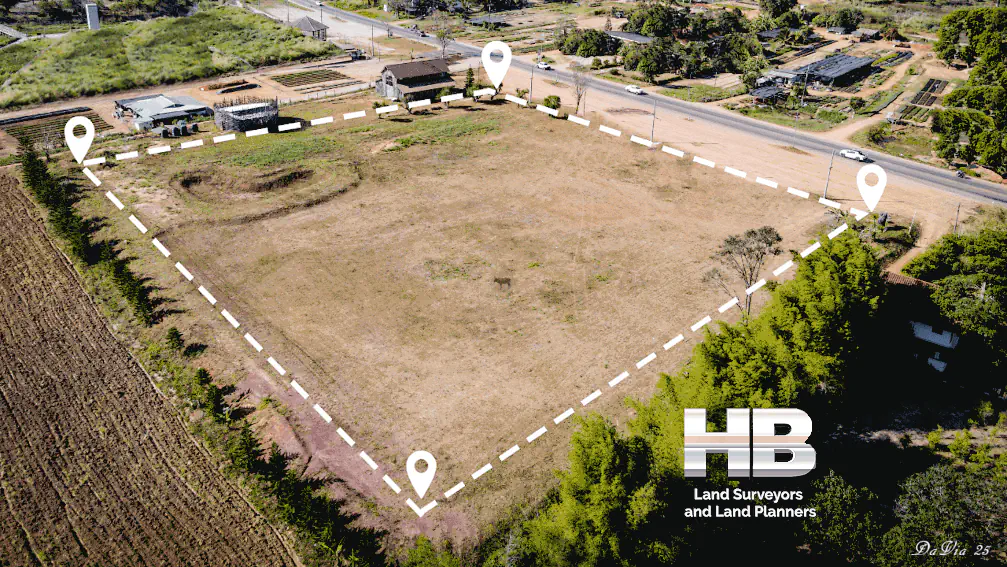
When clients contact us asking about a land survey boundary, they’re usually referring to the part of a survey that clearly defines where their property begins and ends.
Whether they’re planning a project or solving a question that’s been lingering for years, the boundary is the portion of the survey that matters most to them — and understandably so. Boundaries define ownership, and ownership defines rights.
A land survey boundary refers to the perimeter lines that outline the exact dimensions and shape of a property. These lines originate from legal descriptions found in the deed, which may include bearings, distances, monuments, or markers.
At Haller & Blanchard, our job is to take those written descriptions and translate […]
By a Haller & Blanchard Team Member
When someone types “boundary surveyor near me” into a search engine, they’re usually looking for more than just a company name. They’re looking for someone they can trust — someone who will show up, take the job seriously, and help them understand the land they own.
After spending years in the field as part of Haller & Blanchard, I’ve seen how important that trust really is.
A boundary surveyor’s job may sound simple from the outside: locate corners, measure distances, prepare a plat.
But the truth is, boundary work requires patience, experience, and a level of care that only comes from doing it day after day, property after property.
People look for a “boundary surveyor near […]
By a Haller & Blanchard Team Member
Boundary Survey Cost & Price 2026
By a Haller & Blanchard
One of the most common questions we hear at Haller & Blanchard is: “How much does a boundary survey cost?” People often assume surveys come with a flat price — something like buying a tool off a shelf. But a boundary survey is a professional service shaped by history, terrain, and the unique conditions of each property. After years in this field, I’ve learned that no two jobs are ever the same.
A boundary survey establishes the exact legal limits of a property. We locate or reset property corners, analyze deed descriptions, compare historical records, and create a plat showing the true boundaries. If you’re putting up […]
By a Haller & Blanchard Team Member
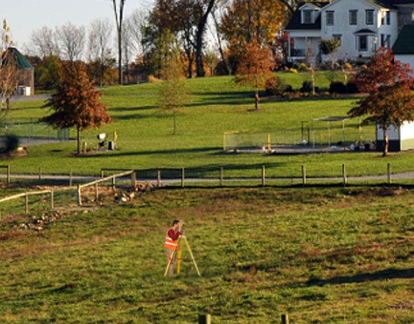
When people contact our office asking what kind of survey will they need for buying or refinancing a home, most of them are talking about a house location survey. After years of walking properties and helping homeowners through stressful deadlines, I’ve learned that this survey brings a lot of clarity to all parties.
A house location survey is designed to confirm where the house and visible improvements sit on the property. It shows the footprint of the home, driveways, sheds, decks, and anything else that’s clearly part of the lot. Most lenders and title companies require this survey before settlement because it protects everyone involved — especially the buyer.
Even though this survey isn’t as detailed as a boundary […]
By Haller & Blanchard & Associates
As we move closer to 2026, the land surveying profession is entering one of the most transformative eras in its long history.
At Haller & Blanchard, West-Central Maryland’s oldest, most trusted, and most experienced land surveying firm, we’ve spent more than 4 decades helping shape the region.
Today, we’re witnessing innovations that are changing the way we capture, measure, and understand land.
And while the tools are evolving rapidly, our commitment to accuracy, integrity, and service remains exactly the same.
Artificial intelligence has officially moved beyond buzzword status. In 2026, AI is directly embedded into core surveying workflows.
Instead of manually sorting through raw field data, AI systems now instantly classify terrain, identify […]
The field of land surveying is poised for significant changes in 2024, driven by technological advancements, regulatory shifts, and the increasing demand for accurate geospatial data.
In this two-part series, we’ll explore the key trends and developments that are expected to shape land survey services in the coming year.
Surveyors can now efficiently gather data from hard-to-reach areas, reducing safety risks and cutting costs. In 2024, we can expect to see more surveying firms adopting […]
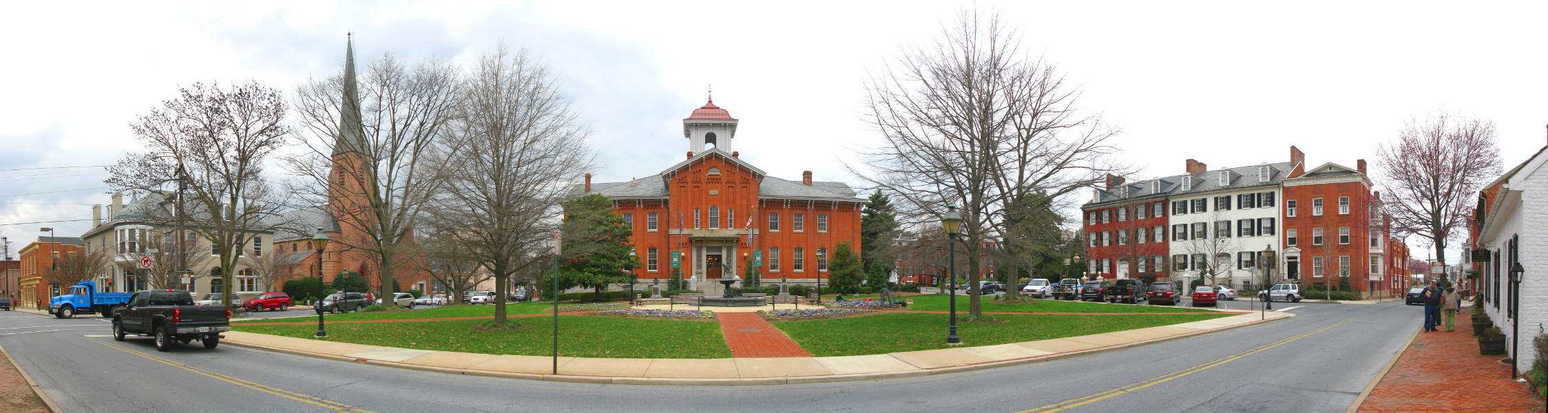
Rockville, Maryland—now a bustling suburb of Washington, D.C.—has a rich history of land surveying that reflects broader patterns of settlement, land use, and urban development in the Mid-Atlantic region.
From its colonial roots to its present-day role as a governmental and residential hub in Montgomery County, the evolution of land surveying in Rockville tells a story of growth, innovation, and community planning.
The foundations of land surveying in Rockville date back to the 18th century, when European settlers began moving inland from the Chesapeake Bay and Potomac River regions.
The land that would become Rockville was originally part of a larger tract known as “Hungerford’s Tavern,” named for a central tavern that served as a meeting place.
Surveyors of the time used rudimentary tools such […]