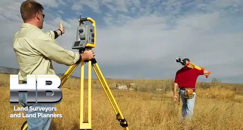
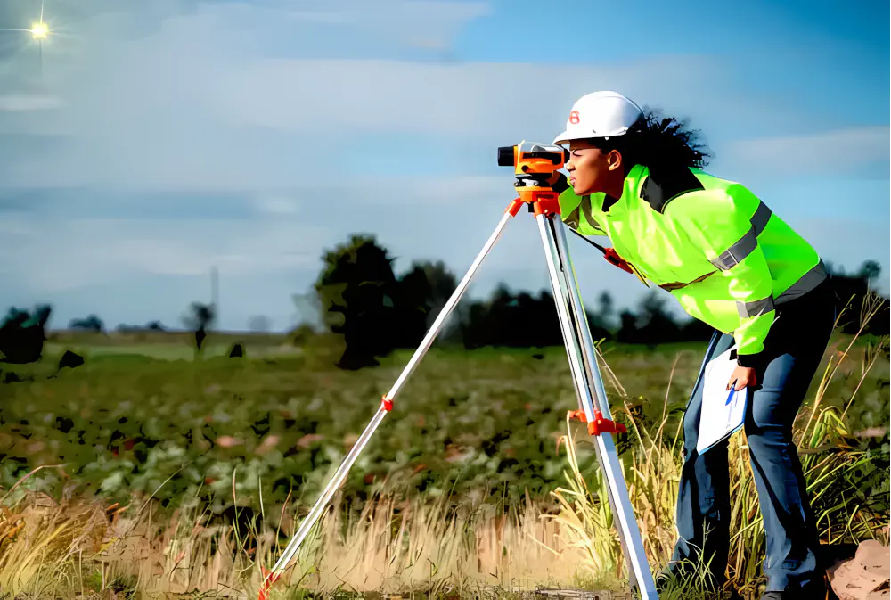
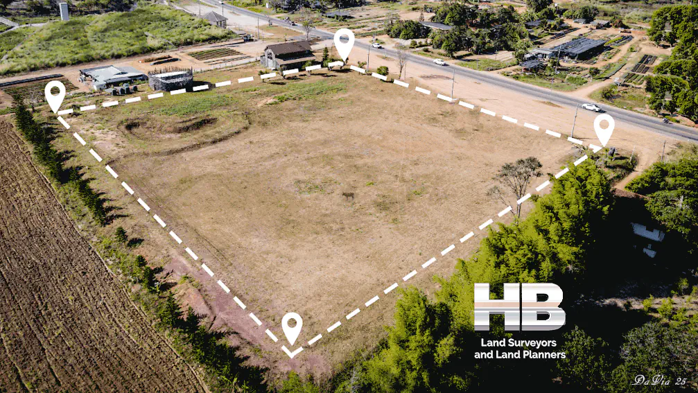
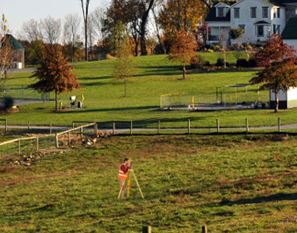
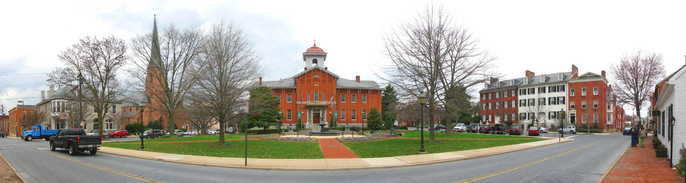
Land Surveyors 2026

Land Surveyors 2026 

Land Surveyors in 2026

Surveyors in 2026: What Property Owners Need to Know Moving Forward

As the owner of Haller, Blanchard & Associates, I have spent more than four decades working as a professional land surveyor in West-Central Maryland.

Over that time, I have seen the profession evolve through multiple technological revolutions, economic cycles, and development trends.

As we look toward 2026, one thing is absolutely clear: the role of the land surveyor is becoming more important, not less.

Surveyors in 2026 are no longer just field technicians placing stakes in the ground. Today’s surveyor operates at the intersection of technology, law, land use planning, and risk management.

Advanced tools such as GPS, robotic total stations, laser scanning, and drones have dramatically improved efficiency and data collection. However, technology […]

Land Surveyors 20262025-12-18T00:27:00-05:00

Land Survey Boundary

Land Survey Boundary 

Land Survey Boundary 2026

By a Haller & Blanchard Team Member

When clients contact us asking about a land survey boundary, they’re usually referring to the part of a survey that clearly defines where their property begins and ends.

Whether they’re planning a project or solving a question that’s been lingering for years, the boundary is the portion of the survey that matters most to them — and understandably so. Boundaries define ownership, and ownership defines rights.

A land survey boundary refers to the perimeter lines that outline the exact dimensions and shape of a property. These lines originate from legal descriptions found in the deed, which may include bearings, distances, monuments, or markers.

At Haller & Blanchard, our job is to take those written descriptions and translate […]

Land Survey Boundary2025-12-16T15:02:10-05:00

Land Survey 2026

Land Survey 

Land Survey 2026

By a Haller & Blanchard Team Member

When someone calls our office and simply asks for a land survey, I always take a moment to ask a few clarifying questions.

Not because the term is wrong, but because it’s incredibly broad. “Land survey” can mean different things to different people, depending on what they need, what stage of property ownership they’re in, and what problems they’re trying to solve.

Over the years, I’ve learned that most clients just want clear answers — and that’s exactly what we provide here at Haller & Blanchard.

A land survey is essentially the process of measuring and mapping a piece of land. That sounds simple, but the work behind it can be surprisingly detailed. Every survey starts with research.

We review […]

Land Survey 20262025-12-16T01:57:55-05:00

Boundary Surveyor Near Me

Boundary Surveyor Near Me 

Boundary Surveyor Near Me 2026

By a Haller & Blanchard Team Member

When someone types “boundary surveyor near me” into a search engine, they’re usually looking for more than just a company name. They’re looking for someone they can trust — someone who will show up, take the job seriously, and help them understand the land they own.

After spending years in the field as part of Haller & Blanchard, I’ve seen how important that trust really is.

A boundary surveyor’s job may sound simple from the outside: locate corners, measure distances, prepare a plat.

But the truth is, boundary work requires patience, experience, and a level of care that only comes from doing it day after day, property after property.

People look for a “boundary surveyor near […]

Boundary Surveyor Near Me2025-12-16T00:02:55-05:00

The Future of Land Survey Companies and Surveyors

The Future of Land Survey Companies and Surveyors

As we look to the future, the landscape of land surveying in Maryland is poised for further transformation. Technological advancements, changing regulations, and evolving client demands are shaping the path ahead for land survey companies and surveyors.

Embracing Automation and Artificial Intelligence

The integration of automation and artificial intelligence (AI) is expected to streamline land surveying processes. Autonomous surveying equipment, equipped with AI algorithms, can perform tasks more efficiently and accurately than ever before. This technology will reduce the need for human intervention in repetitive surveying tasks.


Enhanced Data Analytics

Data analytics tools are becoming increasingly important for land surveyors. By analyzing large datasets collected during surveys, surveyors can extract valuable insights about land […]

The Future of Land Survey Companies and Surveyors2023-11-11T20:06:23-05:00

What’s New in Land Surveying in 2024

What’s New in Land Surveying in 2024

The field of land surveying has evolved significantly over the years, and as we enter 2024, it continues to embrace innovative technologies and practices that enhance accuracy, efficiency, and sustainability.

Advanced Surveying Tools and Techniques

In 2024, land surveyors in Maryland are utilizing cutting-edge tools and techniques to streamline their work. High-precision Global Navigation Satellite Systems (GNSS) receivers have become standard equipment, providing accurate positioning data for surveys. Drones equipped with LiDAR (Light Detection and Ranging) technology are also being used for aerial surveys, making it easier to map large areas and gather detailed elevation data.

Digital Mapping and Geographic Information Systems (GIS)

Digital mapping and Geographic Information Systems (GIS) have revolutionized […]

What’s New in Land Surveying in 20242023-11-11T20:01:54-05:00

Land Survey History in Maryland: Tracing Its Foundations

Land Survey History in Maryland – Tracing the Foundations

Maryland, a state known for its rich history and diverse landscapes, has a land surveying heritage deeply embedded in its past. To truly appreciate the role of land surveying in Maryland’s development, one must delve into its historical roots, understanding how this profession shaped the state’s boundaries, land use, and infrastructure.

Exploring Maryland’s Land Survey History

Maryland’s land surveying history dates back to the early colonial period when English settlers established the first European settlements in the region during the 17th century. The need for precise property demarcation and land division became apparent as the colony expanded.

In 1723, the colonial government of Maryland passed a law known as the “Act for the Better […]

Land Survey History in Maryland: Tracing Its Foundations2025-03-03T13:58:08-05:00
Go to Top