Types of Land Surveys


Types of Land Surveys

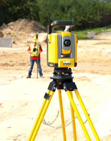
Land surveying is the process of measuring and mapping land and other features of the earth’s surface. It is an essential tool for various purposes such as property disputes, construction, urban planning, and resource management. There are different types of land surveys and methods, each with its own unique characteristics and applications. In this category, we will go through some of the most common land survey types.

Most Common Types of Land Surveys

Boundary Surveys:

  • Boundary surveys are among the most common types of land surveying, and their purpose is to establish property lines and boundaries. These surveys involve measuring and mapping the property’s corners. And property lines, which are […]
Types of Land Surveys2025-06-15T17:50:17-04:00

A Land Survey – The Foundation of any Construction Project

What is a land survey?

A land survey helps you understand the many facets and details of your land. Land surveys are used to locate, characterize, commemorate, and map a portion of the land’s boundaries. It could also contain the land’s terrain, the position of buildings, and other improvements.

A land survey is the foundation or one of the first steps of any construction project.

Professional land surveyors are trained to define property boundaries using a complex combination of law, mathematics, technology, and the sciences.

We conduct surveys, using specialized equipment such as GPS, Theodolites, Laser Technology, and Software.

A survey expert on a construction site holding a clipboard while another expert surveyor looks through a theodoliteExperienced Professional Land Surveyors

In West Central […]

A Land Survey – The Foundation of any Construction Project2024-11-20T16:02:04-05:00
Go to Top