Boundary Survey Frederick Maryland
A Detailed Description
A Boundary Survey is a type of land Survey that determines the exact boundaries of a property.
This type of Survey is typically used for real estate transactions, or when a property owner wants to build a structure on their land, or when there is a dispute over property lines between neighbors.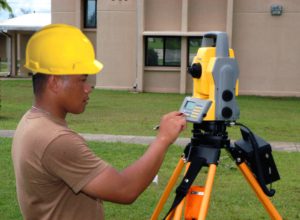
The purpose of a Boundary Survey is to establish legal property boundaries, which can help prevent disputes over property lines and ensure that property owners have a clear understanding of the land they own.
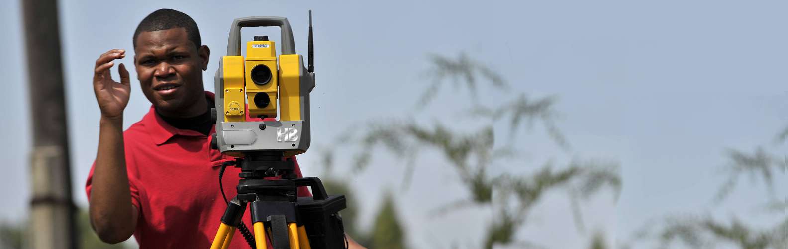
HBA Boundary Surveys are conducted by licensed Surveyors who have the knowledge and expertise to accurately measure and map property lines.
During a Boundary Survey, Haller, Blanchard will examine the property’s legal description and search for any relevant documents or information that could impact the property boundaries.
HBA will then physically measure the property lines, typically using a combination of GPS technology, measuring devices, and other Surveying tools.
Boundary Survey map or report
Once the Survey is complete, the Surveyor will create a Boundary Survey map or report that documents the property lines and any relevant details such as easements or encroachments.
This map or report can be used by property owners, real estate agents, attorneys, and other professionals involved in the property transaction or dispute.
Boundary Surveys are important because they can help prevent legal disputes over property lines.
Without an accurate Boundary Survey, it can be difficult to determine where one property ends and another begins.
This can lead to conflicts between neighbors over the use of land or the placement of structures.
Boundary Surveys can also be used to identify any encroachments or easements on a property.
An encroachment occurs when a structure or other feature from one property extends beyond the property line and onto another property.
An easement is a legal right for one party to use another party’s property for a specific purpose, such as accessing a driveway or utility line.
Identifying encroachments and easements is important because they can impact the value and use of a property.
For example, an encroaching structure may need to be moved or removed in order to comply with property lines.
While an easement may limit a property owner’s ability to build or use certain areas of their land.
In addition to preventing legal disputes, Boundary Surveys can also provide peace of mind for property owners.
 Knowing the exact boundaries of their property can help property owners make informed decisions about land use, development, and other activities that may impact their land.
And lastly, Boundary Surveys are an important tool for establishing legal property boundaries, identifying encroachments and easements, and preventing legal disputes over property lines.
While the process of conducting a Boundary Survey can be complex, the end result is a clear and accurate understanding of a property’s boundaries that can provide peace of mind for property owners and other stakeholders.
If you are buying or selling a property or have concerns about property lines, consulting with Haller, Blanchard, and Associates to conduct a Boundary Survey is a wise investment.
