Land Survey Boundary
Land Survey Boundary 2026
By a Haller & Blanchard Team Member
When clients contact us asking about a land survey boundary, they’re usually referring to the part of a survey that clearly defines where their property begins and ends.
Whether they’re planning a project or solving a question that’s been lingering for years, the boundary is the portion of the survey that matters most to them — and understandably so. Boundaries define ownership, and ownership defines rights.
A land survey boundary refers to the perimeter lines that outline the exact dimensions and shape of a property. These lines originate from legal descriptions found in the deed, which may include bearings, distances, monuments, or markers.
At Haller & Blanchard, our job is to take those written descriptions and translate them into precise, physical data that clients can rely on.
The first step is deed analysis. Many Maryland deeds date back decades, and some reference landmarks that no longer exist, such as old fence posts or trees long gone. In those cases, we turn to older plats, neighboring deeds, and historical surveys.
Our firm’s extensive archives — which span over a century — often provide reference points that help resolve conflicts and clarify ambiguous descriptions.
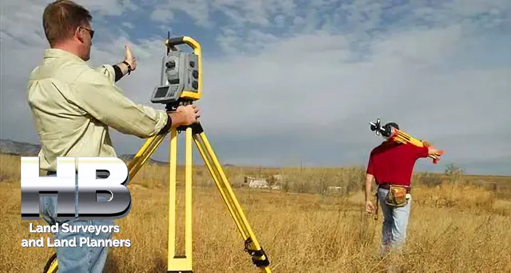
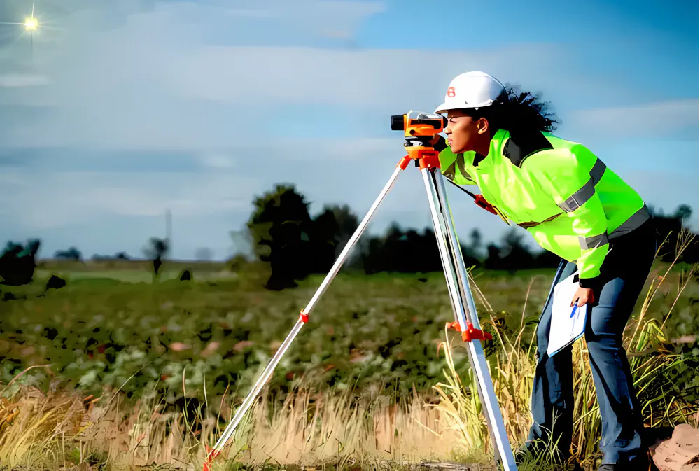
Once the research is complete, we head to the field. Locating the land survey boundary involves finding existing monuments, such as iron pins, stone markers, concrete monuments, or other evidence on the ground.
When markers are missing or damaged, we re-establish them through professional calculations. Every step must be precise, because these are the lines that legally define the property.
Clients often think boundary work is purely technical, but it connects to real concerns: fencing, building, land use, and neighbor relations.
I’ve guided homeowners through situations where a neighbor’s shed overlapped the boundary by a few feet, or where an outdated fence was built based on guesswork instead of actual survey data.
I’ve helped families reclaim land they didn’t realize belonged to them — and helped others understand boundaries before selling or subdividing.
A clear land survey boundary protects everyone involved. It prevents disputes, supports responsible development, and ensures that construction stays compliant with zoning regulations. In some cases, it also helps homeowners avoid unintentional violations like building too close to setbacks.
The final product of this process is a plat — a detailed drawing of the land showing its boundary lines, markers, improvements, and any relevant notes. Clients often tell me that seeing their property visually mapped out helps them understand it better.
It gives them confidence, especially when preparing for major decisions like building or dividing land.
What I appreciate most about this work is that it blends technical skill with real human impact. Every property has a story, and every boundary survey adds clarity to that story. When I explain the results to clients — walking them through the plat, answering their questions, and pointing out key features — I can see how much it means to them.
A land survey boundary isn’t just lines on paper. It’s clarity, protection, and empowerment. And at Haller & Blanchard, we take pride in delivering those results with accuracy and care.