Land Survey
Land Survey 2026
By a Haller & Blanchard Team Member
When someone calls our office and simply asks for a land survey, I always take a moment to ask a few clarifying questions.
Not because the term is wrong, but because it’s incredibly broad. “Land survey” can mean different things to different people, depending on what they need, what stage of property ownership they’re in, and what problems they’re trying to solve.
Over the years, I’ve learned that most clients just want clear answers — and that’s exactly what we provide here at Haller & Blanchard.
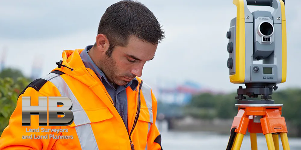
A land survey is essentially the process of measuring and mapping a piece of land. That sounds simple, but the work behind it can be surprisingly detailed. Every survey starts with research.
We review deeds, plats, historical maps, and any previous surveys connected to the property. In West-Central Maryland — where our firm has been serving communities for over a century — many of the old records are surveys we completed decades ago.
Having that legacy makes the job smoother and more accurate, and it’s one of the advantages of working with the region’s oldest land surveying firm.
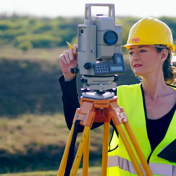
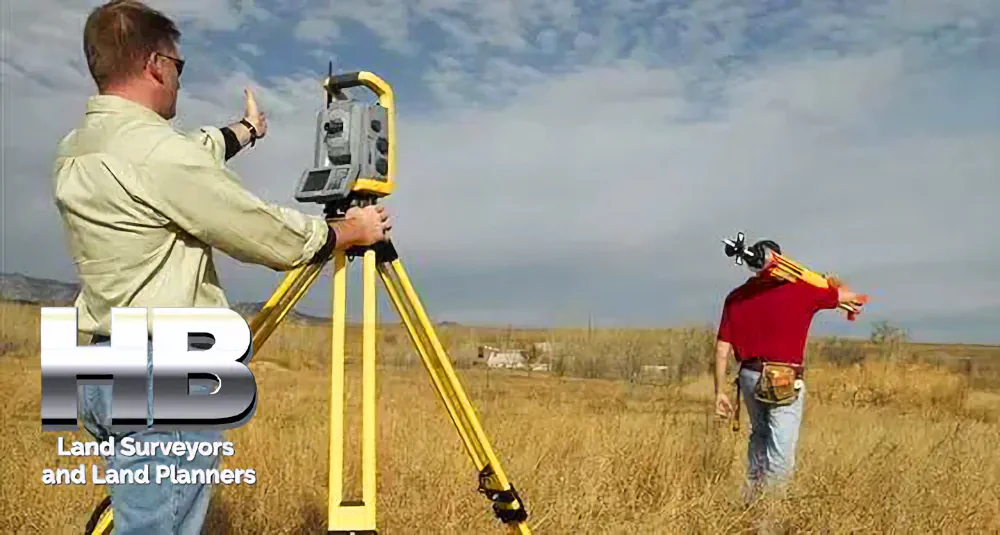
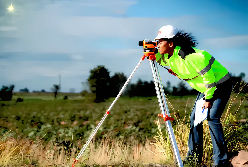
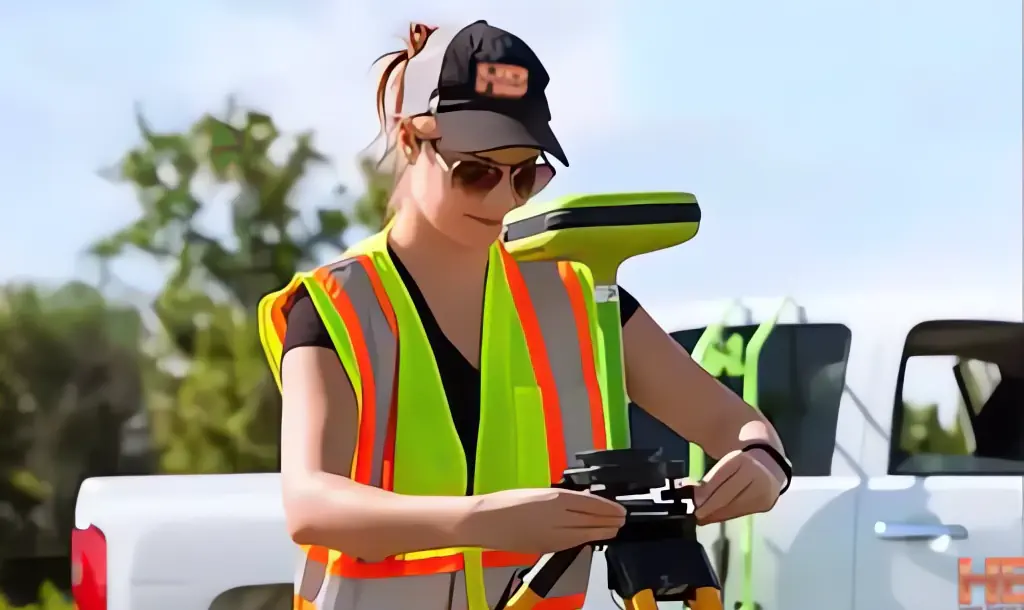
Once the research is done, we perform the fieldwork. That might involve locating markers, taking GPS measurements, capturing topographic data, checking visible improvements, and identifying features of the land that may impact boundaries or project planning.
Depending on what the client needs, we may also produce a plat — an official drawing that documents our findings.
People request land surveys for a lot of different reasons. Some are preparing for construction. Others want to settle a question about where their property begins and ends.
Some are ordering a survey for real estate purposes, and others need documentation for planning, permitting, or development.
I once worked with a family who inherited a large piece of land but had never walked it. They weren’t sure where the boundaries were, and there were old fence remnants scattered throughout the woods.
The “land survey” they requested turned into a mix of boundary work, topographic mapping, and locating historical markers. By the end, they had a clear picture of the property that had been in their family for generations.
What I tell clients is this: a land survey is about more than measurements. It’s about understanding the space you own so you can protect it, develop it responsibly, or simply enjoy it without uncertainty.
In a world where land is one of the most valuable assets you can have, clarity is everything.
With modern tools — drones, GPS networks, digital modeling — surveys are more precise than ever. But even with advanced technology, the expertise of the surveyor still matters.
There’s a human element in every job that no machine can replace. Judgment, experience, attention to detail — those things are learned over years in the field. And at Haller & Blanchard, that’s exactly what clients can expect from us.
So when someone tells me, “I need a land survey,” I reassure them: no matter the situation, no matter the size of the property, we’ll figure out exactly what they need and provide the data they can trust. That’s the work we do, and it’s something we take pride in every single day.