Land Surveying and the Expansion of the United States
The history of land surveying in the United States dates back to the colonial era when the first settlers began to claim and develop land in the new world.
One of the colonies’ first significant land surveying projects was surveying the Mason-Dixon line in the 18th century, which established the boundary between Pennsylvania and Maryland.
This survey, conducted by Charles Mason and Jeremiah Dixon, helped to resolve a long-standing boundary dispute between the two colonies and set a precedent for future boundary surveys in the country.
The General Land Office and the Survey of Public Lands

As the United States continued to expand west in the 19th century, land surveying played a crucial role in acquiring and developing new territories. The federal government established the General Land Office (GLO) in 1812 to manage the surveying, sale, and management of public lands.
The GLO was responsible for surveying and mapping millions of acres of land, including the Louisiana Purchase and the Oregon Territory.
The GLO’s work, carried out by a corps of surveyors known as “blazers,” which marked out the boundaries of public lands using a system of “township and range” surveying.
This system divided the land into square sections, each measuring six miles on a side, and was used to survey and divide the land in the western United States.
The Importance of Land Surveying in Environmental Conservation and Land-Use Planning
As the country continued to grow and develop in the 20th century, land surveying was vital in constructing roads, bridges, buildings, and other infrastructure.
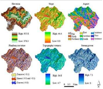
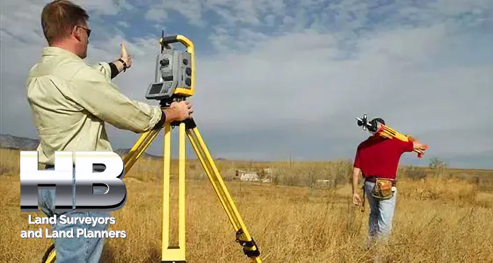
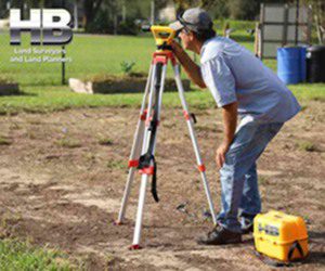
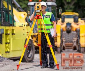
And Surveying technology also advanced, with the introduction of new tools and equipment, such as total stations and GPS, which significantly improved the accuracy and efficiency of land surveying.
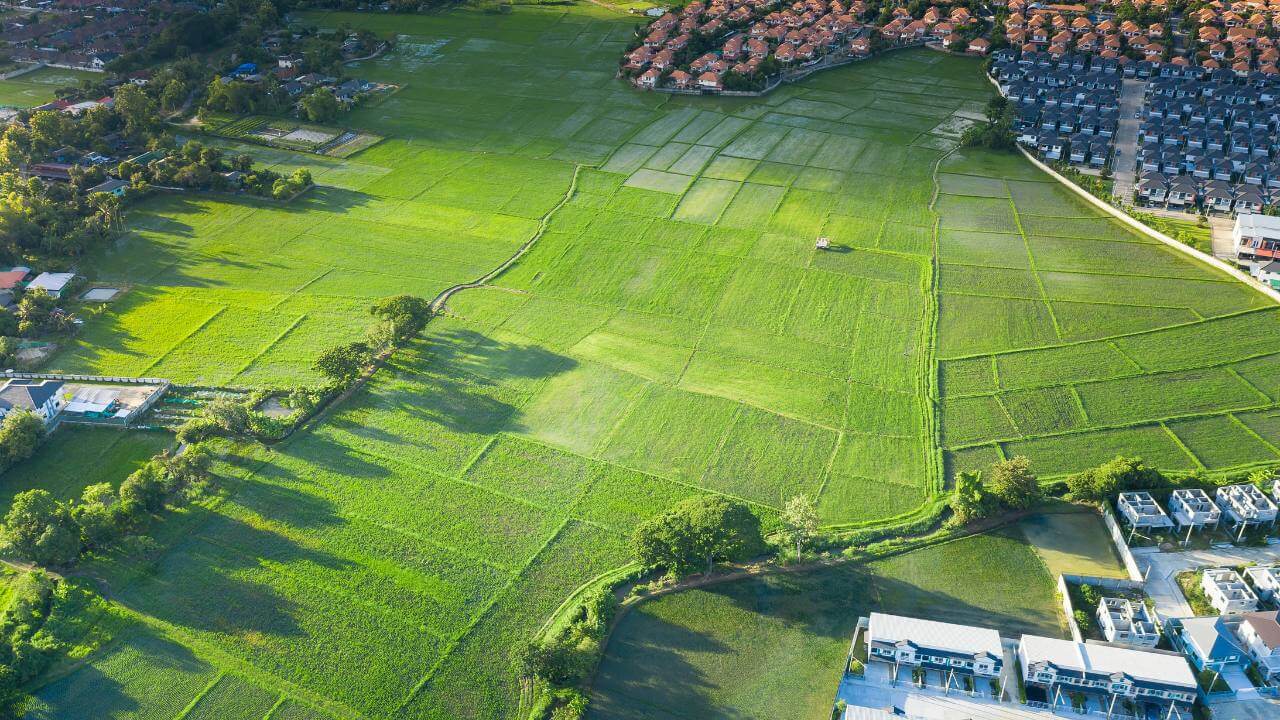
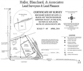
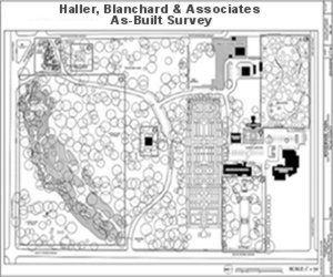
And so today, land surveying plays a vital role in developing and managing land in the United States. Haller, Blanchard Surveyors are involved in many Survey types, including Property Survey, Topographic/Mapping Survey, Construction Site Survey, Alta/NSPS Survey, Wall Check Survey, Stakeout Survey, As Built Survey, Residential Subdivision Survey, and more.
And Surveys play a crucial role in environmental conservation and land-use planning, ensuring that land is developed and used sustainably.
Also, Land Surveying has played an important role in the history and development of the United States, from the colonial era to today. From the Mason-Dixon line to the Louisiana Purchase and beyond, surveyors have play a crucial role in the acquisition and development of new territories. And continue to play an essential role in the construction, management, and conservation of land in the country.
Would you like to know more? →

Land Survey
Oldest, Most Trusted, and Most ExperiencedLand Surveyors


ALTA - NSPS Survey
Experience Counts. Rest Assured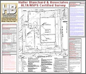

Property Survey
Professional and AccurateProperty Surveyors

Site Survey
Avoid High Cost MistakesSite Surveyors


Done Fast, Done Right

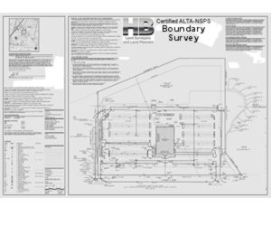
Boundary Survey
Haller, Blanchard 37 Yrs in FrederickBoundary Surveyors
As Built Survey
More Detailed and ResearchAs-Built Surveyors
Wall Check Survey
Avoid Costly Legal Disputes
Topographic Survey
Fast Surveys and Permits Lowers CostTopographic Surveyors